Alert
Alerts
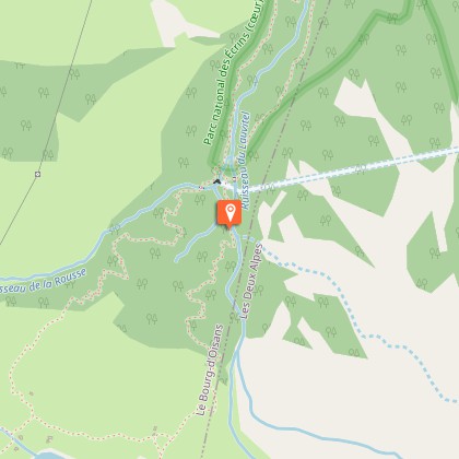
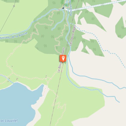
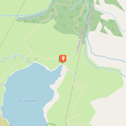
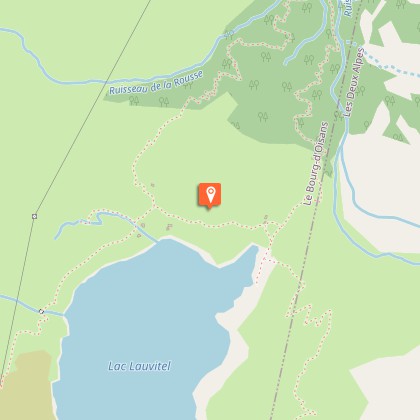
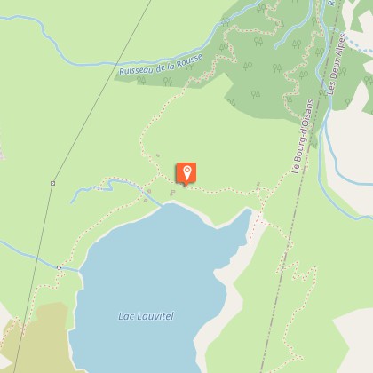
Lauvitel Lake


IGN cards


Description
This family hike in the Lauvitel valley leads to the lake of the same name: a jewel set in the steep rocky slopes coming down from the summits of Rochail (3022 m), the top of the Muraillette (3019 m) and the Lauvitel signal (2901 m).Cross the Danchère and continue along a good track to the crossroads near to the Lauvitel stream (Ecrins National Park noticeboard). Go up the paved path on the left, on the right bank of the stream. The track is bordered by dry stone walls which separate them from the cultivated fields. Cross the Selles stream near to the catchment area then follow the bends through the deciduous trees and the spruce trees. Cross numerous springs which are really resurgences from the lake. After having crossed a clearing with beautiful prairies, come out on to a lower shelf which leads to the edge of the Lauvitel (1530 m). For the return treck, follow the lake towards the cabins. At the fork, take the path to the right which goes down to the Danchère on the left bank of the stream. For the return journey along the lake towards the huts. At the fork, take the right path to reach halfway through the trailhead on the right bank of the creek. Down to Danchère, through the hamlet in reverse to reach the parking.
Technical Information
Altimetric profile
Starting point
Steps
Additional information
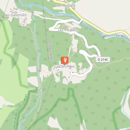
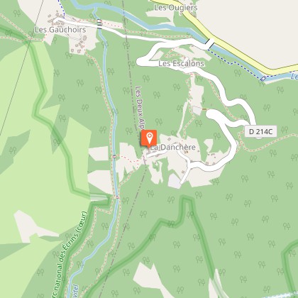
Departure
La Danchère
Ambiance
Owing to its depth (68 m), its surface area (37,2ha) and its volume of water (6, 8 million m3): the Lauvitel is a lake that holds many records. It is adjacent to the Lauvitel nature reserve, which is closed to the public. Created in 1955 for "a reinforced protection of the fauna and the flora for scientific purposes", it is the first place of this kind to have been created in a French National Park.
Access
From Bourg-d'Oisans, take the D1091 to Le Clapier hamlet and take the D530 then the D214c on the right.
Advised parking
Car Park at Danchère hamlet
Public transport
Bus stop at Ougiers, on the La Bérarde - Bourg d'Oisans line (05voyageurs.com).
Advice
The Southern part of the lake and the bottom of the valley are classed as nature reserves: space prohibited to the public and dedicated to research. Attention, the Lauvitel valley is subject to avalanche risk.
Is in the midst of the park
The national park is an unrestricted natural area but subjected to regulations which must be known by all visitors.
