Alert
Alerts
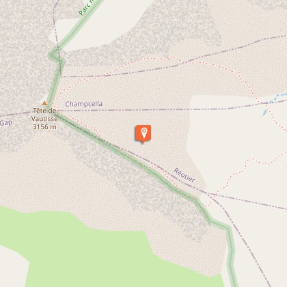
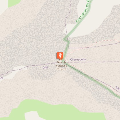
La Tête de Vautisse


Description
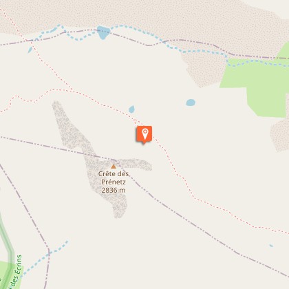
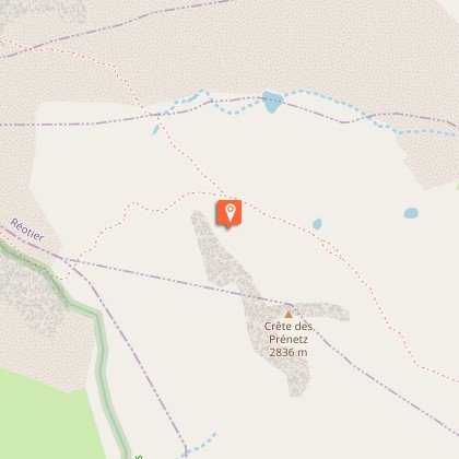
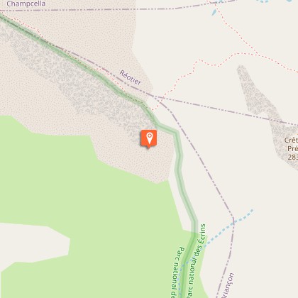
A hike to discover the nival stage (above 3000 metres) with relatively easy access conditions. From the car park, take the footpath on the left of the flat terrain, which leads here and there along the Alp stream with a regular and moderate incline. About 40 minutes further on, the path forks to the left and continues along the Prénetz ridge through black soil. Off a bend, the footpath leads to a terrace (the Selle valley) revealing three small mountain lakes that dry out some years.With the lakes to the right, the footpath continues a slight descent, the lowest point of which is the Rougnoux pass. The climb towards the summit starts properly from this pass. Numerous bends mean a relatively steep walk where the incline is generally between 30 and 35°. Shortly before the summit, a terrace will enable you to catch your breath.The return trip will be by the same path. A small circuit is also possible from the summit. Leaving the path by which you came on the right, take the stretch of path to the left as far as the Rougnoux pass.
Technical Information
Altimetric profile
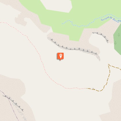
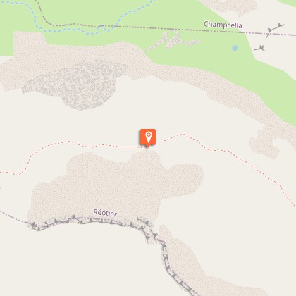
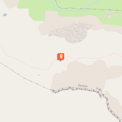
Starting point
Steps
Additional information
Departure
L'Alp mountain hut, Réotier
Ambiance
"At the foot of the Tête de Vautisse, the stunted vegetation gives way to an almost solely mineral environment. The rock ptarmigan, emblematic species of the high summits lives in such seemingly inhospitable conditions. Groups of several heads are seen on a regular basis.” Damien Combrisson, warden in the Embrunais area
Access
From Montdauphin, take the D37, then the D38 to Réotier. From there, follow the D638 until you reach the hamlet of Les Bruns and take the hairpin to the right towards Mikéou. From Mikéou, follow the track for 2.5 km to the hamlet of Les Eymars and continue towards the Selle mountain hut. You will reach the Alp hut after 9.5 km of winding forestry trails.
Advised parking
On the terrace near the Alp hut, Réotier.
Public transport
Consider car sharing.
Advice
The major part of the footpath covers alpine lawns that are grazed by a flock of around 1500 sheep during the mountain pasture period. It is important to respect the shepherd's work, not to scare the animals (in particular the dogs) or separate the flock (by walking though it).
Herd protection dogs
In mountain pastures, protection dogs are there to protect the herds from predators (wolves, etc.).When I hike I adapt my behavior by going around the herd and pausing for the dog to identify me.Find out more about the actions to adopt with the article "Protection dogs: a context and actions to adopt".Tell us about your meeting by answering this survey.
