Alert
Alerts
La cabane de Rif Meyol


IGN cards


Description
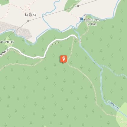
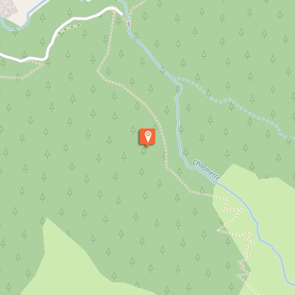
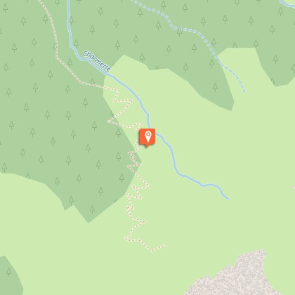
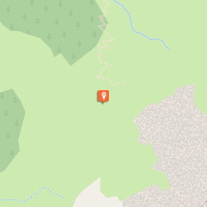
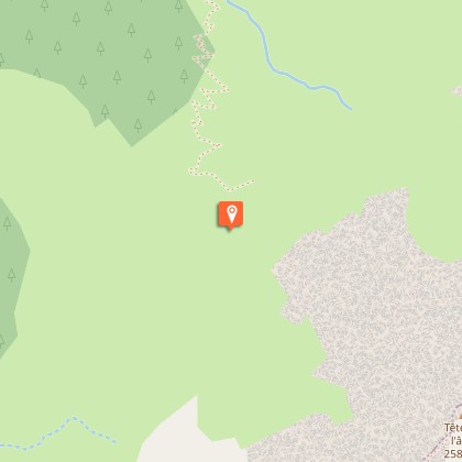
The climb takes you through a softwood forest and leads to the Rif Meyol pastoral hut.After taking a small forestry track, directly from the Confolens waterfall car park, the first two-thirds of the route go through a beech and pine forest to reach the bottom of the high grass pastures. From the old half-ruined stone hut, the meandering path leads up to another altitude "pessière" (spruce forest). You will then reach the pastures, in the true sense of the word, which form a patchwork of rhododendron and blueberry moors, green alder thickets, adenostyles alpinas, raspberry plants and meadows of fleshy grasses. Now at the subalpine stage, there are few trees to obstruct the view over immense greenery surrounded by rocky ledges in the distance. The Rif Méyol is not far. It is discreetly located in the relief and surrounded by large splashes of dark green that are monk's rhubarb.
Technical Information
Altimetric profile
Starting point
Steps
Additional information
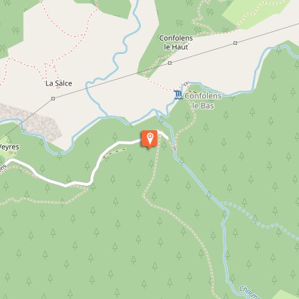
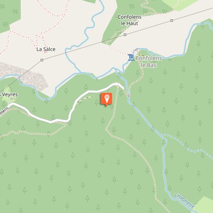
Departure
Confolens waterfall car park or Périer village car park
Ambiance
There is no lake here, no impetuous stream, no glacier but a silent cirque that is far from busy, where the fauna, as well as the exuberant vegetation impress by their abundance and diversity. A wild but calm environment synonymous with a protected area. Bernard Nicollet, warden in the Valbonnais area
Access
From la Mûre: follow the D114 (for 1.5 km) then the D26 and the D526. From Bourg d'Oisans, follow the D526. There is a first car park above the Grissard graveyard (altitude 1001 m). It is possible to continue up to the Salsette, where there is a second car park near to the Confolens waterfall.
Advised parking
Confolens waterfall car park or Périer church car park
Public transport
Transière bus Line 4120 Chantelouve-La Mure Bus stop at Périer (village)
Advice
For early morning walkers, do not forget your gaiters to protect against the abundant dew.
Is in the midst of the park
The national park is an unrestricted natural area but subjected to regulations which must be known by all visitors.
