Alert
Alerts
From Villar-Loubière to La-Chapelle-en-Valgaudemar


Description
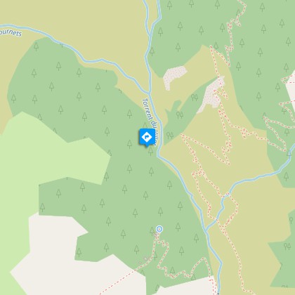
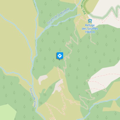
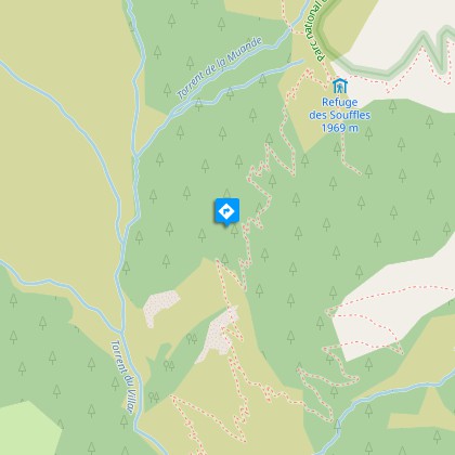
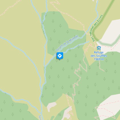
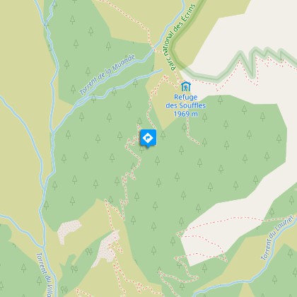
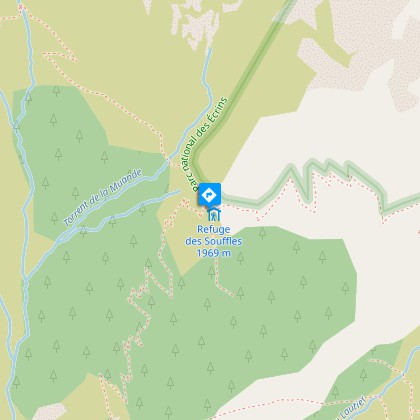
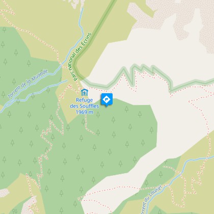
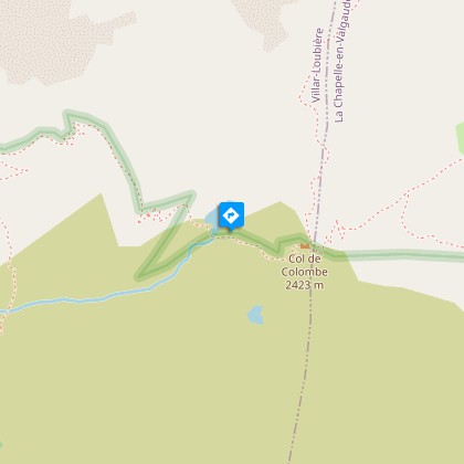
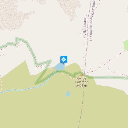
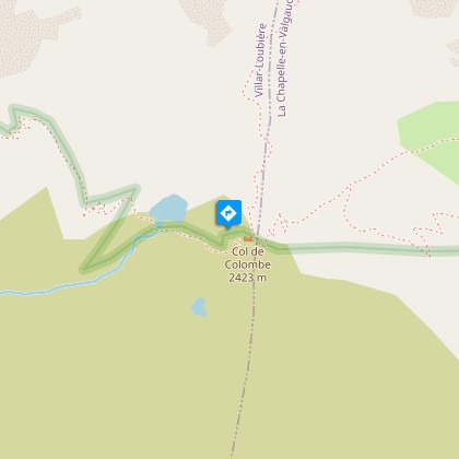
An itinerary that offers stunning views of the Valgaudemar valley. Ideal for those who like steep hiking.From the Villard Loubière car park, head up to the village by following the signs for Souffles mountain refuge on the GR54. The footpath progresses through the shingle and moors and into a narrow valley. As you get closer to the refuge, beech trees appear, then larch trees line the way up to the Souffles mountain refuge that is at an altitude of 1968 m. Leave the GR route and take the footpath behind the refuge towards the Lautier lake. Crossing the Clochettes pass will lead you to the Lautier valley. Do not take the path that goes down into the valley but continue towards the lake, which will soon be visible. Then head to the nearby Colombes pass, which is at an altitude of 2427 m (from where it is possible head off up to the Turbat Peak, 3028 m, by an off-trail itinerary). Start the long descent towards La Chapelle en Valgaudemar. Leave the path on the left that goes to the Pas de l'Olan and the refuge of the same name, and continue the descent via Le Clot until you reach La Chapelle en Valgaudemar at an altitude of 1100 m.
Technical Information
Altimetric profile
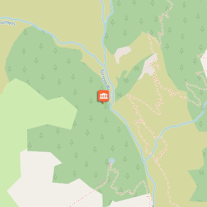
Starting point
Steps
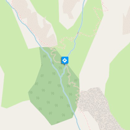
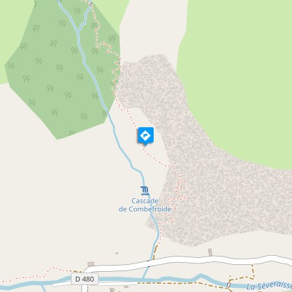
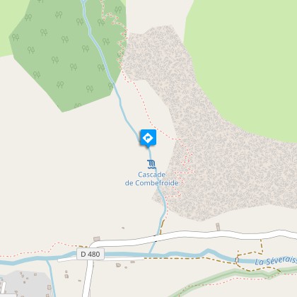
Points of interest


Additional information
Departure
Villar Loubière car park
Arrival
Olan mountain refuge car park, La Chapelle-en-Valgaudemar
Ambiance
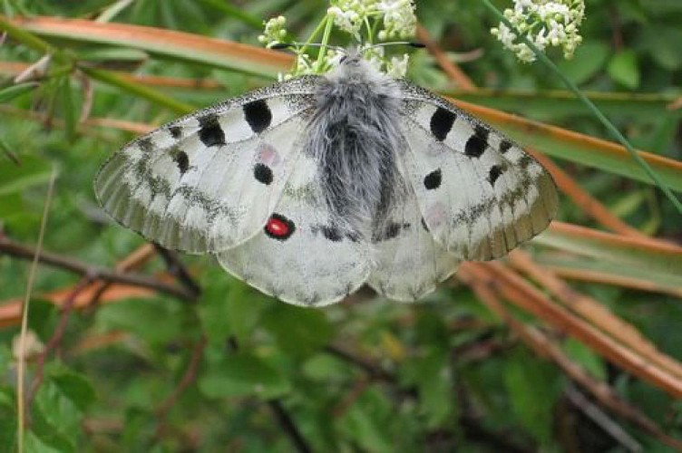
The climb to the Souffles mountain refuge is made by a footpath worthy of an alpine garden with its flowers and butterflies. If you are lucky, you will hear the black grouse before you arrive at the refuge, where you will be able to watch vultures flying above the Lautier lake. In any case, you have every chance of seeing a chamois on your way to the Colombe pass.
Access
From the N85 take the D985 that goes to the Valegaudemar valley up to Villard Loubière.
Advised parking
Olan mountain refuge car park, after the village of La Chapelle-en-Valgaudemar
Public transport
Conseil Général shuttle from St Firmin. Connection with buses coming from Gap or Grenoble.
Advice
If you are driving, you will need to organise a shuttle, leaving a vehicle at the starting point, which is the Olan refuge car park just after the village of La Chapelle en Valgaudemar. You can also use the Conseil Général's shuttle service. For information call 04 92 502 505.
Is in the midst of the park
The national park is an unrestricted natural area but subjected to regulations which must be known by all visitors.
