Alert

Alerts

To see around
See more
Open
Close
Show
Show
Show
Show
Show
Show
Show
Show
Show
Show
Show

Oups... It would appear that Cirkwi does not have permission to use your location.

Presentation
Description
Map
Steps
Points of interest
Ratings and reviews
See around

De Morlaàs à Lescar

VoieArles_Morlaas 003 ©Betty_Arnavielhe_Tripinwild.fr
VoieArles_Morlaas 001 ©Betty_Arnavielhe_Tripinwild.fr
Lescar cathédrale ©CDT64
VoieArles_Lescar 001 ©Betty_Arnavielhe_Tripinwild.fr

Description

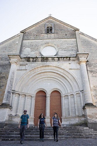
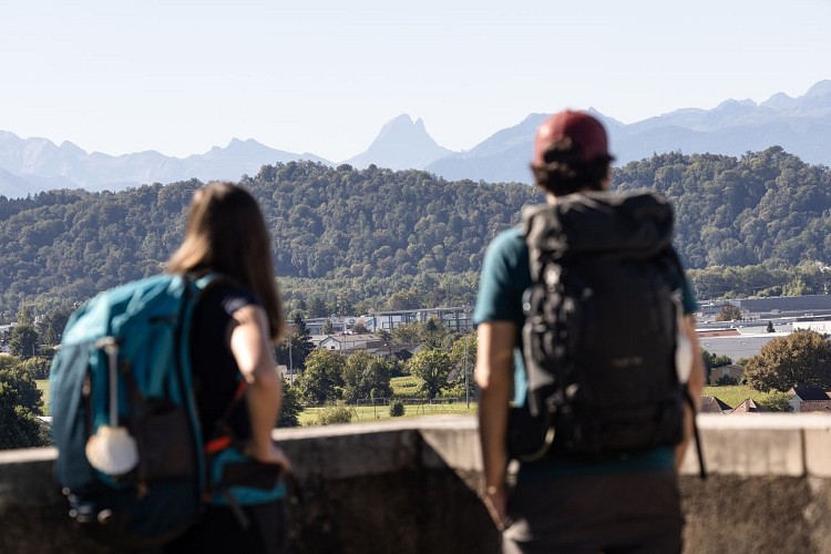
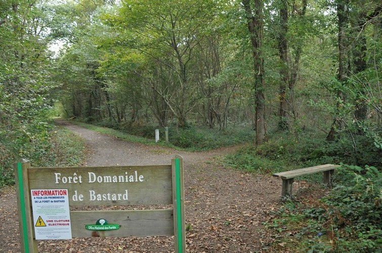
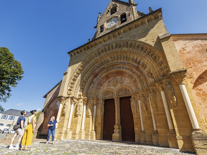
While this stage links two masterpieces of Romanesque art, the church of Sainte-Foy in Morlaàs and the cathedral of Notre-Dame in Lescar, it also boasts a very interesting natural heritage despite its proximity to the city of Pau. The view of the Pyrenees is omnipresent on a clear day, and you can discover the Bastard forest, the green lung of the Lande du Pont Long, trodden by thousands of walkers, pilgrims and shepherds.

Technical Information

Walking
Difficulty
Medium
Duration
5h10mn
Dist.
20 km
Show more

Altimetric profile

Starting point

64160   MORLAAS
Lat : 43.3453019Lng : -0.26266

Steps

image du object
3

Lake Carolins

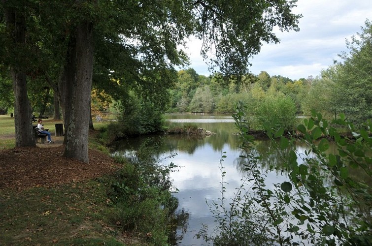
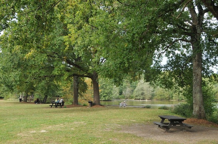
Here, take the tarmac road to the left (Compostelle is given as 930 km away...) for 250 m, then turn right onto the 2nd allée Ouest (or Pichadet), at the corner of the forest house. At the end of the lane, without going through the wooden barrier, follow the path to the left, along the edge of the wood. After a duckboard, cross the 1st lane to the west and, of the two paths opposite (bench), choose the one on the right. Continue right into the woods until you reach a bend in the road. At this junction, take the gravel path on the left (metal barrier); it leads to a bridge over the A64 and the Pau ring road. On the other side, keep to the circular gravel track alongside the racecourse. Near the pediments, go through the wooden chicane and join the Avenue du Cami Salié. Follow this road to the right, staying on the pedestrian/cycle path under the trees. After a chicane, cross the racecourse car park, staying on course. Cross the junction with the D834 (14.4 km / 3h40), taking care to keep out of the way of traffic (pedestrian crossings), and continue straight ahead along the Chemin Salié (towards the ZAC du Perlic in Lons). Avoid the next roundabout by turning right at a pedestrian crossing, then continue straight ahead along the avenue's pavement. Leave Boulevard Blériot on your left and walk straight on towards the last houses. When the road bends at right angles between two fields (signposted Lons exit), leave the tarmac for the gravel path on the left. It runs alongside a few villas and then curves 90° to the right. Walk straight ahead until you find a footbridge over the Ousse des Bois stream. Shortly afterwards, walk alongside Lac des Carolins.

- Tourisme Béarn Pyrénées Pays basque -
Consulter

Additional information

Balisage

White and red (GR®)

Typologie de l'itinéraire

Walking trail
Hiking Route (GR®)

Thèmes

Compostela

Contact

Fixed telephone : +33 5 59 33 62 25
e-mail : contact@tourisme-nordbearn.fr
Web site (URL) : www.tourisme-nordbearn.fr/

Marques et labels

GR® homologué FFRandonnée

Ratings and reviews

To see around
See more
Open
Close
Show
Show
Show
Show
Show
Show
Show
Show
Show
Show
Show
Caution!
We have no information on the difficulty of this circuit. You may encounter some surprises along the way. Before you go, please feel free to inquire more and take all necessary precautions. Have a good trip! 🌳🥾