Alert
Alerts
Nature and Heritage in Alaric
Description
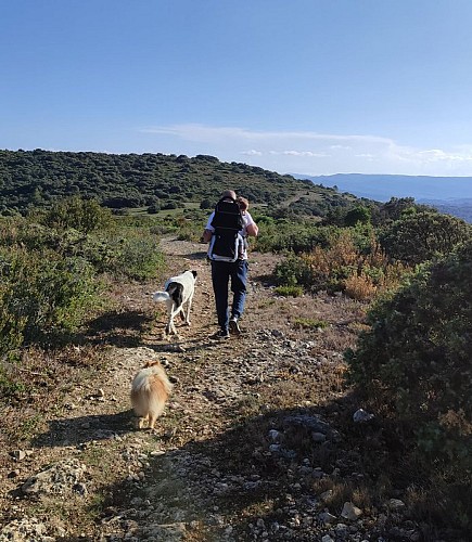
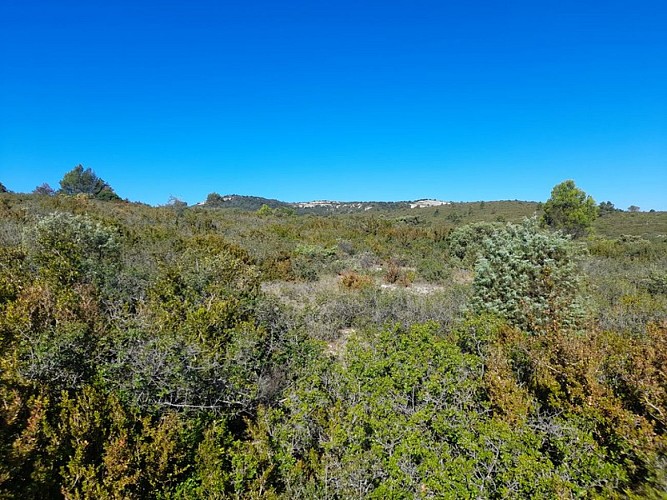
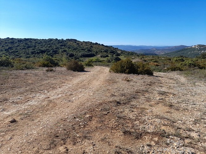
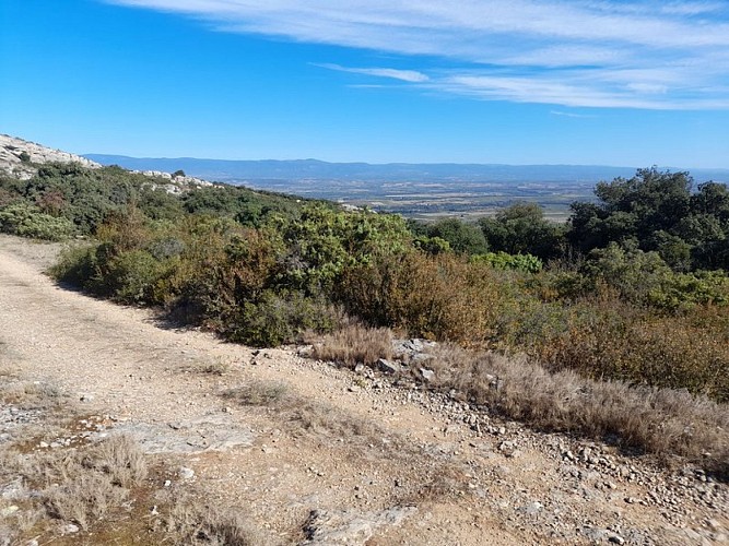
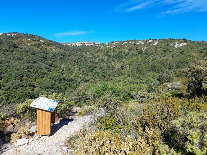
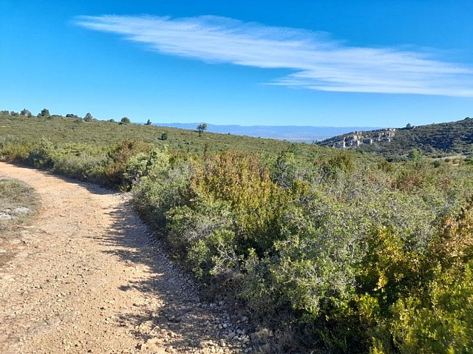
Keep your eyes peeled, along this botanical trail, several breathtaking views await you. Admire the unique panoramic views to the south and north of the Pyrenees and the Montagne Noire, and enjoy the themed interpretive signs dotted along the way.
Trail Markings: Yellow Rectangle
Start from the parking lot at the Col du Fer à Cheval between Capendu and Montlaur.
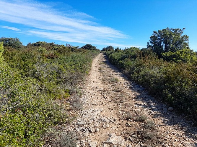
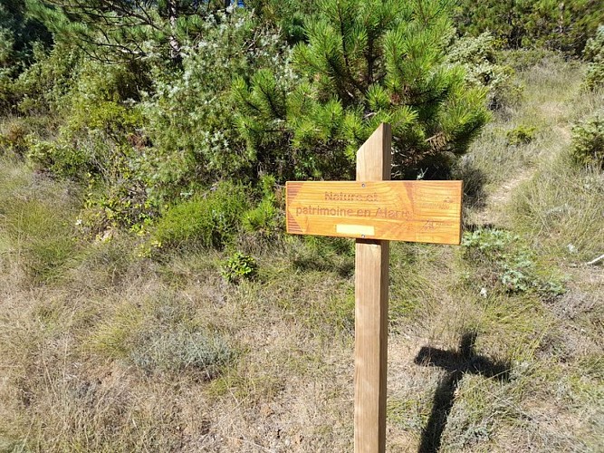
Leave the parking lot by taking the trail that climbs, heading due west. At the top right, you’ll see the trail welcome sign (taking a photo of it will help you orient yourself as you proceed, relative to the locations of the various themed signs).
You are in the heart of the “Corbières Occidentales” Natura 2000 site; be sure to stay on the marked trail and carefully follow the yellow rectangular markers.
Continue along the winding trail for one kilometer, then at the intersection, turn right onto a gentle uphill section. Enjoy the remarkable views to the south and north, overlooking the Pyrenees and the Montagne Noire.
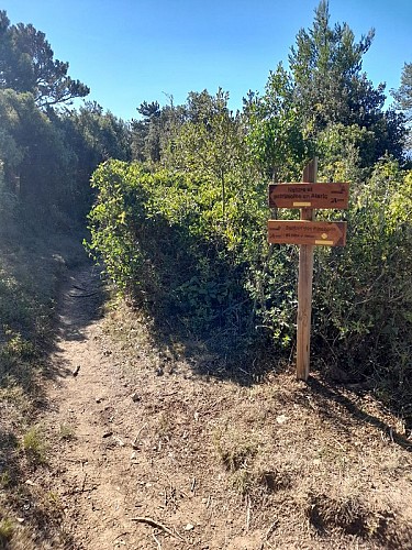
In the wooded area, the southern part of the Capendu communal forest managed by the ONF (National Forest Office), at the small clearing where you’ll find a themed sign, turn left. This small pass was once a route to Montlaur. Shortly after, at the busy Y-shaped intersection, you’ll find yourself at a crossroads. Pay close attention to the yellow rectangular markers. Turn left.
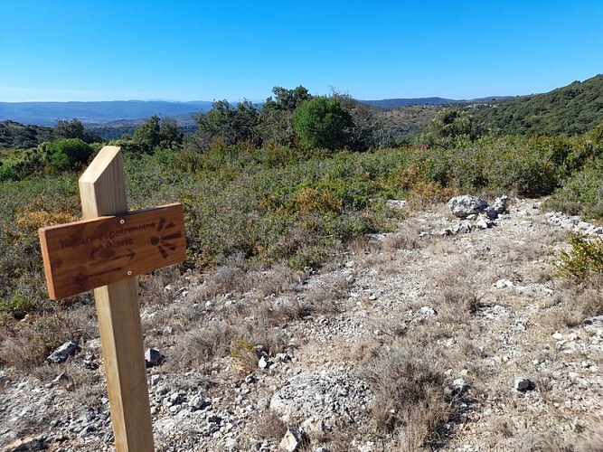
You’re already on your way back. About 200 m further on, on your right, is the last interpretive sign. Enjoy the extraordinary view of part of the Pyrenees.
Technical Information
Altimetric profile
Starting point
Additional information
Public transport
401 Ligne régionale NARBONNE - CARCASSONNE
Advised parking
Parking au col du fer à cheval entre Capendu et Montlaur
Access
D6113 from Carcassonne
Arrival
CAPENDU - Parking at the Col du Fer à Cheval
Departure
CAPENDU - Parking at the Col du Fer à Cheval
Data author
