Alert
Alerts
The Sep dam
Description
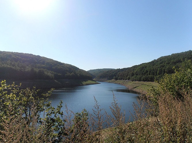
From Saint-Pardoux, explore the Sep dam and take time to observe the Chaîne des Puys and the Forez mountains.
Technical Information
Altimetric profile
Starting point
Steps
Additional information
Environments
In the country
Updated by
Office de Tourisme des Combrailles - 29/09/2026
www.combrailles-auvergne-tourisme.fr/
Report a problem
Open period
All year round daily.
Location complements
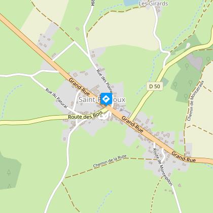
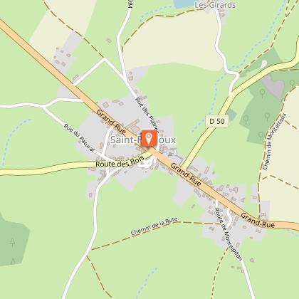
39 km north of Clermont-Ferrand, join Saint-Pardoux. Parking and start sign at Place La Bascule, 100 m after the church from Clermont-Ferrand.
Contact
Phone : 04 73 85 80 94
Website : https://www.combrailles-auvergne-tourisme.fr/
Reception complements
For your own safety, always take a bottle of water, a hat, warm clothing and footwear suitable for walking.
Depending on the weather conditions, some routes are not recommended in bad weather (fog) or are not practicable, or even forbidden, during the winter season.
Some sites are fragile, so stay on the marked paths. Avoid picking wild flowers and disturbing wildlife. Pick up your rubbish.
Animals are not allowed on some roads
Guidebook with maps/step-by-step
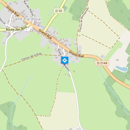
Departure point: Head towards the church along a lane running alongside the main road. Pass it and continue along the side of the main road until you reach the first right-hand junction with a road leading to Monteipdon-barrage de la Sep. Follow this small road to the second track on the right.
1 -Take it (view of the Chaine des Puys). At the next crossroads, turn left. Continue downhill, ignoring the road on your left, until you reach the crossroads at the bottom of the descent. (AR 100m to Bregnands fountain and pond).
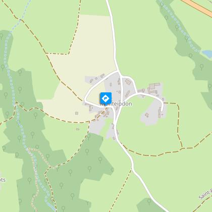
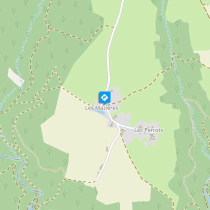
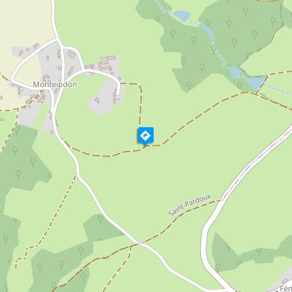
2 -Take the first right into the village (Monteipdon). Ignore a track on the left. The road becomes a track. Cross a stream to a road (Les Mazières).
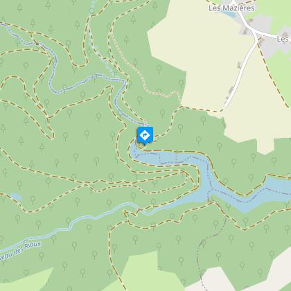
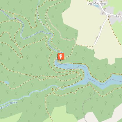
3 -Turn left (pond). At the fork (cross), go right. At the next crossroads, keep right. After the last house, at the esplanade (view of the valley and the Sep reservoir), go right down to the Sep reservoir.
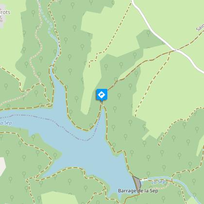
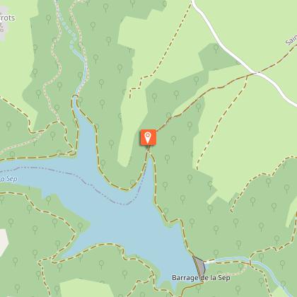
4 -Continue left along the edge of the reservoir. Leave the two paths leading up to the left and continue along the lakeshore to the next intersection.
5 -Leave the lakeside path and climb to the left along a wide track. At the top of the hill, turn left onto a small road. At the Monteipdon sign, turn right onto a track (view of the Limagne plain and Forez mountains). Leave two tracks on the right and climb to the left. Pass a water tower (view of Saint-Hilaire-la-Croix) and reach a small road. Turn right, keep right and continue straight on (cross at Saint-Denis) to Saint-Pardoux.
Animals
Yes. Dogs must be kept on a lead because of the presence of herds.
