Alert
Alerts
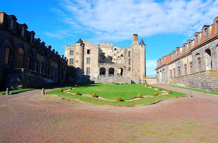
The Cathedral of the Mountains
Description
Leaving from Loubeyrat, this route takes you through the Grandville marshes, with panoramic views of the Chaîne des Puys and the church of Saint Jean Baptiste.
Technical Information
Altimetric profile
Starting point
Steps
Additional information
Open period
All year round daily.
Tips
Loubeyrat - Marais de Grandville - Château de Chazeron
Environments
In the country
Contact
Phone : 04 73 85 80 94
Email : contact@tourisme-combrailles.fr
Website : https://www.combrailles-auvergne-tourisme.fr/
Location complements
Reach Loubeyrat, 28km north of Clermont-Ferrand. Parking and signpost near the church.
Updated by
Office de Tourisme des Combrailles - 29/09/2026
www.combrailles-auvergne-tourisme.fr/
Report a problem
Reception complements
For your own safety, always take a bottle of water, a hat, warm clothing and footwear suitable for walking.
Depending on the weather conditions, some routes are not recommended in bad weather (fog) or are not practicable, or even forbidden, during the winter season.
Some sites are fragile, so stay on the marked paths. Avoid picking wild flowers and disturbing wildlife. Pick up your rubbish.
Animals are not allowed on some roads
Guidebook with maps/step-by-step
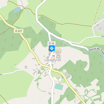
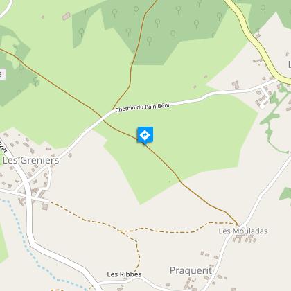
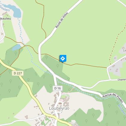
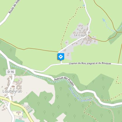
Start: From the start sign on the edge of the D16, climb to the junction with the D227. Cross it and continue on the D16. After the stadium, turn right towards Praquerit. At the center aéré, turn right and keep right (view of the Chaîne des Puys). At the road, go straight ahead, ignoring a track on the right, and continue to the next road.
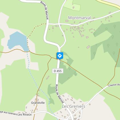
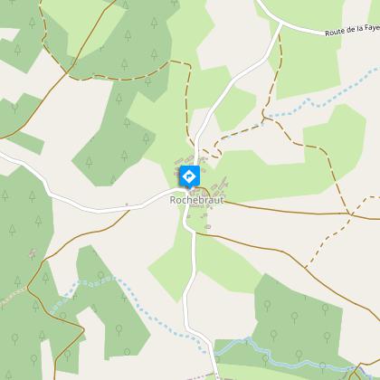
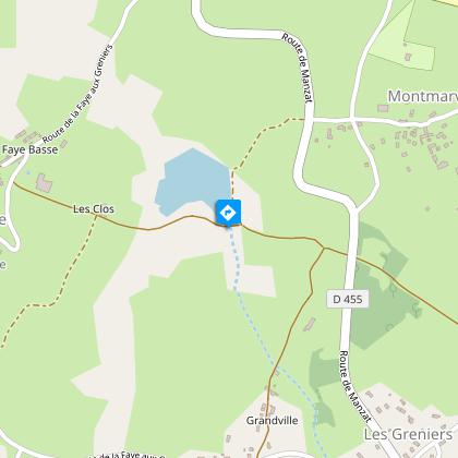
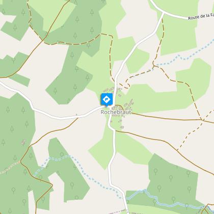
1 - Go straight ahead, taking the first track on the left. On leaving Grandville, cross the road and take the track opposite. Pass the pond. Go straight ahead at the intersection. At the four paths, go right, ignoring the adjacent paths, and continue to the road through Rochebraud.
2 - Go straight on and follow the signs for La Tronche (well, wash-house). At the fork, turn right. At the next intersection, turn right. Continue straight ahead. Pass an intersection and at the next one, turn right into the village. At La Faye Haute, before the fountain, turn left. At the intersection, turn left. At La Faye Basse, turn right at the cross. Continue straight ahead to a T-junction adjacent to the pond.
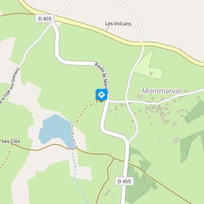
3 - Continue left along the pond to a fork. Go right (view of Puys de Dôme, Pourcharet, Pariou Jumes). At the road, go straight ahead towards Montmarval. Go through the hamlet. On the D227, go straight ahead towards Beaulieu. At the Beaulieu sign, take the right-hand path. Cross a road and continue on the track opposite (view of Loubeyrat). At the road, turn right (view of Chazeron castle). At the crossroads, turn right. At the next crossroads, cross the D78 and take the footpath on the left to return to the starting point.
Animals
Yes. Dogs must be kept on a leash due to the presence of herds.
