Alert
Alerts
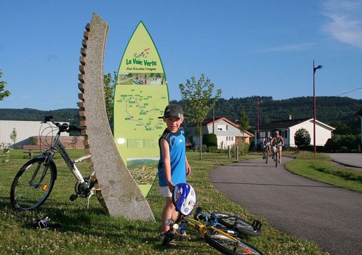
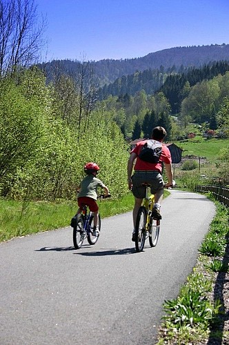
Cycling route - Voie Verte
Description
Surrounded by mountains and fresh air, the Voie Verte des Hautes Vosges is a multi-activity trail on the 53 km of the former railway tracks of the Moselle-Moselotte Valleys. With family or friends, share funny time, with tandem, rollerblades, ... in free access. Free map at the tourist offices or downloadable here as well as the GPX tracks.
Technical Information
Altimetric profile
Starting point
Additional information
Producteur de la donnée
Ces informations sont issues de la plateforme SITLOR - Système d’Information Touristique - Lorraine
Elles sont synchronisées dans le cadre du partenariat entre Cirkwi, l’Agence régionale du Tourisme Grand Est et les membres du comité technique de Sitlor.
Contact
Tel : 03 29 22 63 85
Email : tourisme@paysderemiremont.fr
Site web : www.paysderemiremont.fr/voieverte/
