Alert
Alerts
Circuit trail gerardmer n°8 (red) - hautes chaumes et lacs


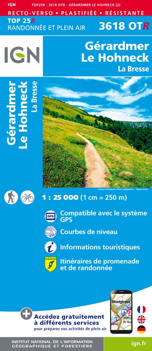
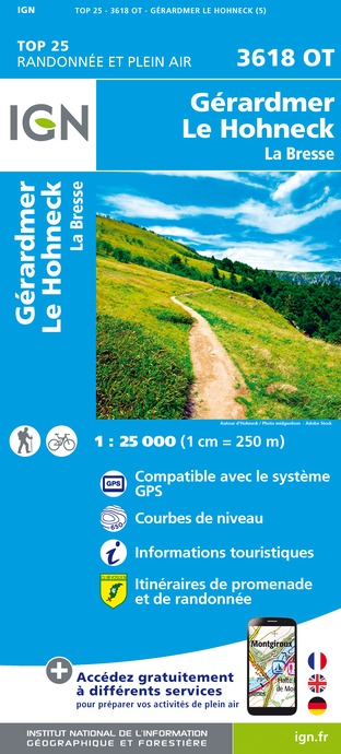
IGN cards


Description
Departure from La Mauselaine, climb to Grouvelin, descend to La Bresse at La Ténine, then climb to Les Champis before descending to the Vologne valley. Climb to the Rainkopf on the ridges and then follow the Névés trail to the Hohneck (highest point at 1363m, magnificent view). Then go through Falimont, Le Collet, le Haut Gazon, Balveurche, Lac de Longemer. Go back up to Poli and return to Gérardmer.
Follow the green N°8 markers (45,8km, 2003m D+). Estimated duration: 4h30 to 8h depending on your level of experience.
Technical Information
Altimetric profile
Starting point
Additional information
Producteur de la donnée
Ces informations sont issues de la plateforme SITLOR - Système d’Information Touristique - Lorraine
Elles sont synchronisées dans le cadre du partenariat entre Cirkwi, l’Agence régionale du Tourisme Grand Est et les membres du comité technique de Sitlor.
Contact
Site web : www.onpiste.com/explorer/routes/hautes-chaumes-et-lacs-1420
Data author
