Alert
Alerts
Type of practice
Walking
Presentation
Map
Steps
Cirkwi brief's
Ratings and reviews
See around
Tour of Béline. Be careful to: - not translate proper nouns - respect the subtleties.

The Cirkwi brief
Discover the Scenic Tour de Béline: A Hiker's Gem in Landreville
Embark on a journey through the lush landscapes of Landreville with the Tour de Béline. This trek promises not just a physical adventure but an enchanting encounter with nature's tranquillity. Spanning approximately 4.2 km, it weaves through verdant pathways and offers glimpses of the region's serene beauty. The trail, marked by white and yellow, guides you securely, ensuring a worry-free exploration. Ideal for both novices and seasoned hikers, this route entices with its gentle elevations and captivating surroundings. Allow yourself to be immersed in the peaceful rustle of leaves and the soft whispers of the breeze as you traverse this picturesque landscape.
Brief Technical Overview of the Route
The Tour de Béline showcases a manageable distance of 4.2 km, making it a perfect option for morning or afternoon hikes. Elevations range from 170 meters at its lowest to 246 meters at the highest point, offering a total positive elevation gain of approximately 111 meters. The clearing and maintenance of the trail ensure an accessible and safe path for walkers of various skill levels. The route's well-marked signs in white and yellow provide clear guidance throughout, minimizing chances of deviation. This carefully planned itinerary by Aube en Champagne combines a moderate challenge with scenic views, presenting an ideal balance for engaging outdoor activity.
Seasonal Tips and Safety Recommendations
As your local guide, I recommend visiting Tour de Béline in either spring or autumn for the most vibrant natural displays. During these seasons, the trail is adorned with blossoming flora or autumnal hues, providing breathtaking scenery. Regardless of the season, always ensure you're equipped with suitable footwear to navigate the occasional uneven terrains and a water bottle to stay hydrated. Additionally, checking the weather forecast prior to setting out is crucial, especially in transitional seasons. For your safety, we suggest hiking in groups, or at least informing someone of your itinerary before departing. Above all, respect the natural habitat by sticking to marked paths and leaving no trace.
Landreville: A Jewel in Champagne's Crown
Landreville, the starting point for the Tour de Béline, lies nestled in the heart of the Champagne region, an area steeped in rich cultural and historical significance. This picturesque village is a testament to the enduring allure of rural France, offering a glimpse into both the past and present of this celebrated region. The trail itself traverses landscapes that have been cherished and cultivated for centuries, reflecting the deep connection between the people and their land. In exploring this area, one not only witnesses the natural beauty of Aube in Champagne but also becomes part of a narrative that extends back through the annals of history.
Climate Insights and Optimal Visiting Seasons
The climate in Landreville, reflective of the broader Champagne region, presents a temperate pattern with distinct seasonal changes. Winters are generally mild but can occasionally present chilly surprises, while summers are comfortably warm, making it conducive for outdoor activities. The transitional seasons, spring and autumn, showcase the region's natural beauty at its peak, making them the ideal times for hiking. Rainfall is evenly spread throughout the year, so preparing for the possibility of light showers during your hike is sensible. For the most pleasant hiking experience on the Tour de Béline, late spring through early autumn offers the perfect climate window.
Automatically generated.
IGN cards

2918SB - BAR-SUR-SEINE LOCHES-SUR-OURCE
Editor : IGN
Collection : TOP 25 ET SÉRIE BLEUE
Scale : 1:25 000
13.90€
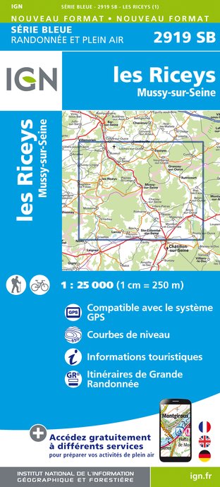
2919SB - LES RICEYS MUSSY-SUR-SEINE
Editor : IGN
Collection : TOP 25 ET SÉRIE BLEUE
Scale : 1:25 000
13.90€
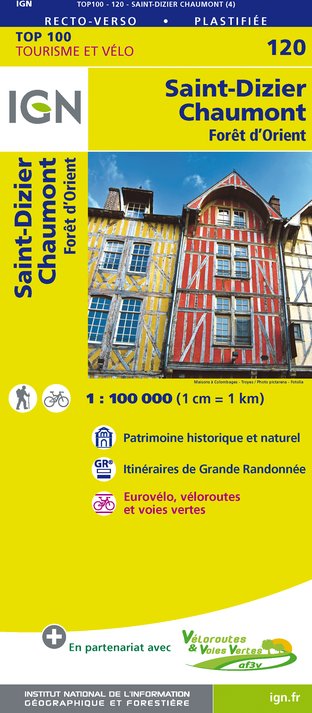
120 SAINT-DIZIER CHAUMONT PNR DE LA FORÊT D'ORIENT
Editor : IGN
Collection : TOP 100
Scale : 1:100 000
8.40€

129 DIJON MONTBARD PLATEAU DE LANGRES AUXOIS
Editor : IGN
Collection : TOP 100
Scale : 1:100 000
8.40€
D58-D89 NIÈVRE YONNE
Editor : IGN
Collection : CARTES DÉPARTEMENTALES IGN
Scale : 1:150 000
5.90€

D21 CÔTE-D'OR
Editor : IGN
Collection : CARTES DÉPARTEMENTALES IGN
Scale : 1:150 000
5.90€
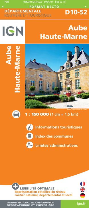
D10-52 AUBE HAUTE-MARNE
Editor : IGN
Collection : CARTES DÉPARTEMENTALES IGN
Scale : 1:150 000
5.90€

NR09 BOURGOGNE FRANCHE-COMTÉ
Editor : IGN
Collection : CARTES RÉGIONALES IGN
Scale : 1:250 000
6.80€

NR05 GRAND EST RECTO/VERSO MASSIF DES VOSGES ALSACE LORRAINE
Editor : IGN
Collection : CARTES RÉGIONALES IGN
Scale : 1:250 000
6.80€

NR04 - GRAND EST RECTO/VERSO ARDENNE CHAMPAGNE
Editor : IGN
Collection : CARTES RÉGIONALES IGN
Scale : 1:250 000
6.80€

EUROPE
Editor : IGN
Collection : DÉCOUVERTE DES PAYS DU MONDE IGN
Scale : 1:2 500 000
7.00€
Technical Information
Walking
Difficulty
Not specified
Dist.
4.2 km
Type of practice
Walking
Show more
Altimetric profile
Starting point
10110
Landreville
Lat : 48.07139Lng : 4.47346
Data author
Ratings and reviews
To see around

