Alert
Alerts
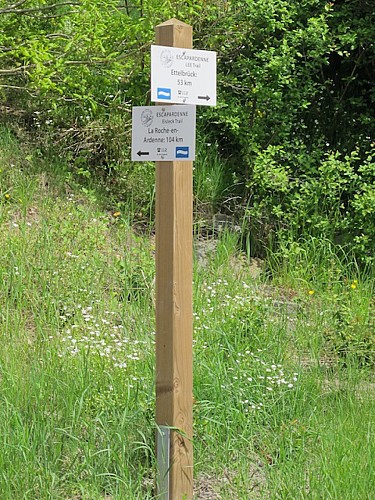
Escapardenne Lee Trail - Stage 3

Description
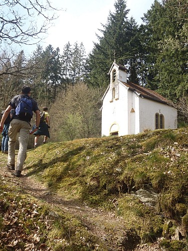
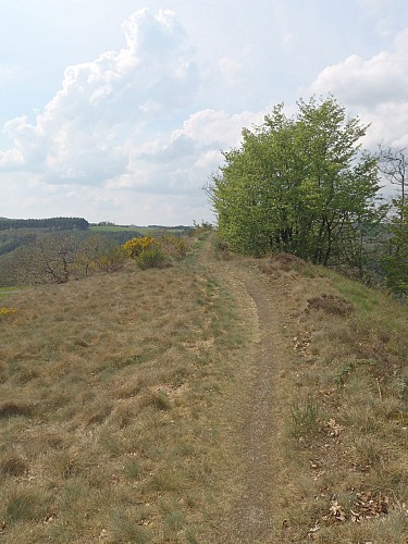
The route passes through oak coppices and enters the tranquil Schlinder Valley. At the end of the valley, the majestic ascent of the MolberLee takes you up to Hoscheid on the high plateau. The hike passes through the village of Hoscheid to then come back down in a North-West direction to the Lëtschbaach valley. After a zigzag climb, the path turns to the South-West and leads to the St. Michel chapel at the bottom of the Schlinder valley. The trail then snakes through the leafy woods of the place known as Malpartes on the hills.
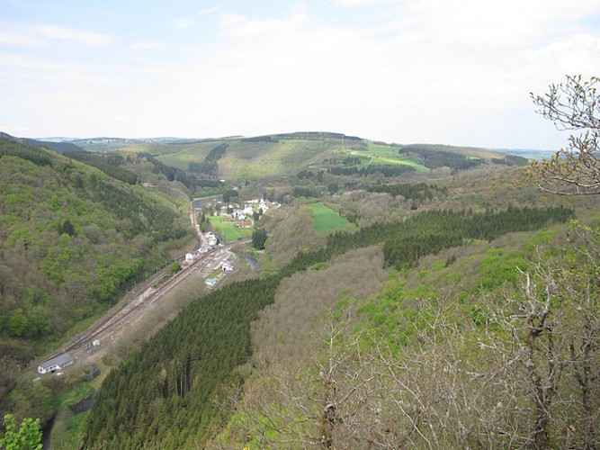
Crossing the CR 348, the route goes down via the Hoflee and crosses the "bridge" then goes up alongside the Gëischelterbaach stream. The route then turns towards the left and slopes back up in the direction of the Hockslay and Ueweschlee viewpoints. Finally a beautiful descent along the ridge of the Bomm leads to Kautenbach and its railway station.
Technical Information
Altimetric profile
Starting point
Steps


Data author
