Alert
Alerts
Type of practice
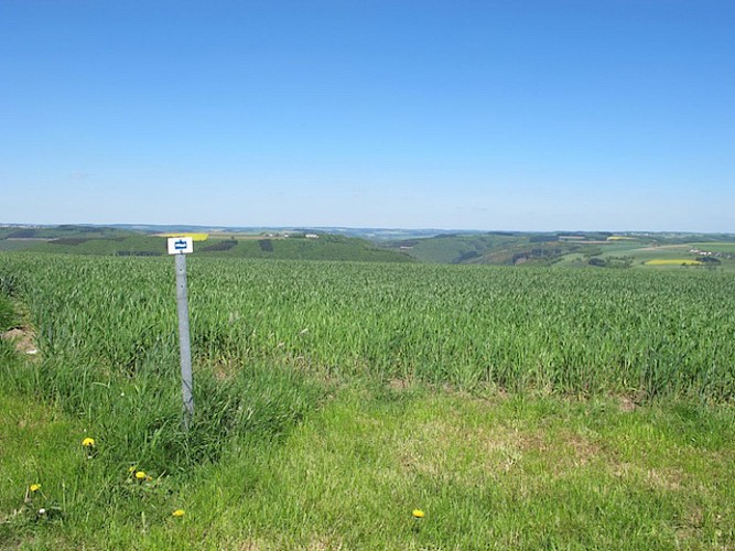
Walking
Medium
Presentation
Description
Map
Steps
Ratings and reviews
See around
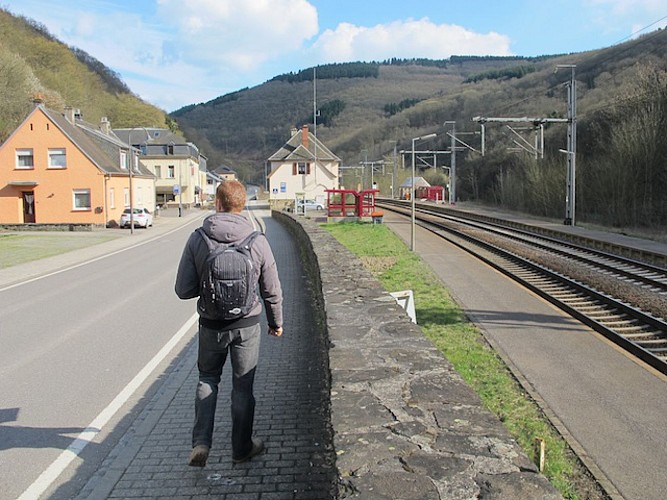
Escapardenne Lee Trail - Stage 2

Credit : PNDO
Description
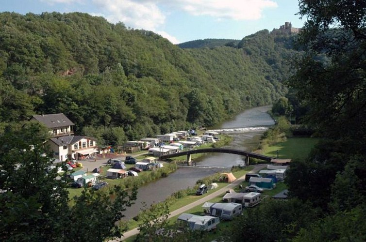
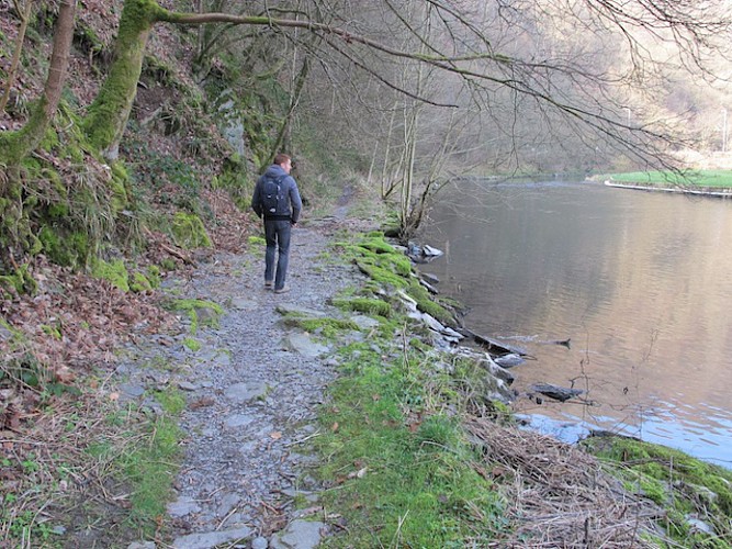
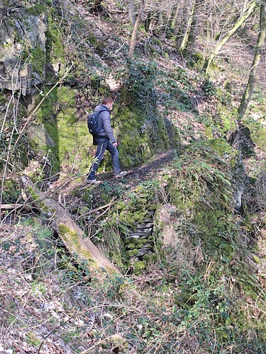
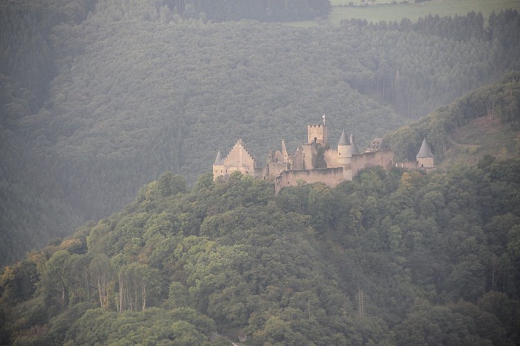
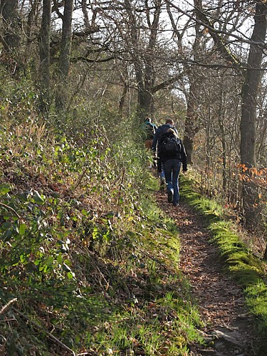
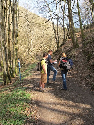
The path continues towards the Du Moulin campsite and follows the river (Sauer) along a natural path after crossing the exit of the railway tunnel via a metal structure. The path leaves the valley to gain altitude, passes by the FéischterLeen and up through oak tree copses towards the village of Bourscheid and the Napoléonsknäppchen viewpoint.
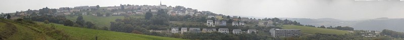
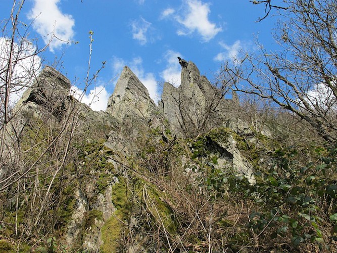
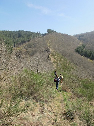
The path leads towards the village of Dirbach, dominated by the imposing rocky outcrops of the RouschteschLeen. After Dirbach the path heads North East, following the valley of the Upper Sauer, to reach Goebelsmühle and its train station.
Technical Information
Walking
Difficulty
Medium
Dist.
19 km
Type of practice
Walking
Medium
Show more
Altimetric profile
Starting point
1
Buurschter-Millen
,
9164
Bourscheid
Lat : 49.91351Lng : 6.08784
Steps
Data author

proposed by
Parc naturel des deux Ourthes
Ratings and reviews
To see around