Alert
Alerts
Crossing Les Bornes in gentle mode - Stage 2: Refuge du Parmelan > Plateau des Glières

Description
Just over 350 m of ascent and around 750 m of descent are on the program for this second stage, which is nevertheless almost 13 kilometers long. The gradients are reasonable, but the climbs and descents are numerous.
This second stage, starting from the Refuge du Parmelan, takes you directly to the Plateau des Glières, a symbol of resistance during the Second World War.
Take advantage of this stage to contemplate the landscapes stretching out before your eyes from the ridges of the Parmelan and its lapiaz, an unusual landscape that seems to go on forever.
Once you've reached the Plateau, take the opportunity to visit the Monument National de la Résistance, inaugurated in 1972 with a speech by André Malraux, and now classified as a Historic Monument.
Technical Information
Altimetric profile
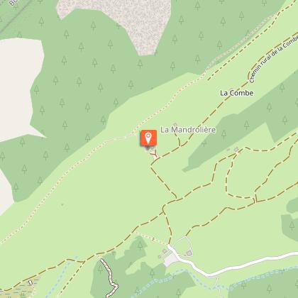
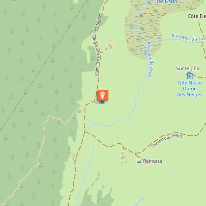
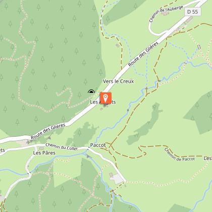
Starting point
Points of interest


Date and time
- From 01/06/2026 to 30/09/2026
- From 01/06/2027 to 30/09/2027
Additional information
Contact
Email : secretariat@cafannecy.fr
Website : http://www.cafannecy.fr/
Open period
From 01/06 to 30/09.
Subject to favorable snow and weather conditions.
Updated by
Conseil Départemental de la Haute-Savoie - 07/04/2026
hautesavoiemontblanc-tourisme.com/
Report a problem
Environments
Lake view
Mountain view
Mountain location
Panoramic view
Type of land
Not suitable for strollers
Topo guides and map references
Topo guides references :
Tournette Bornes Aravis hiking map on sale for €5 at the Thônes Tourist Office.
Map references :
TOP75032 - CHAINE DES ARAVIS - MASSIF DES BAUGES
TOP 25 IGN 3431OT - LAC D'ANNECY and TOP 25 IGN3430ET - LA CLUSAZ
Location complements
Access (on foot):
Refuge Camille Dunant (1825m)- Plateau des Glières (1425m)
IGN Top Glières Parmelan map
Reception complements
Whatever your hike, remember to pack cereal bars, plenty of water, sunglasses, sunscreen, a small first-aid kit, and clothing appropriate to the season and weather forecast.
Tricky passages
Vigilance on the Parmelan lapiaz
Guidebook with maps/step-by-step
Start: Refuge du Parmelan 1825 m
1/ The trail heads south-east towards "Col du Perthuis", along the ridges of the Parmelan overlooking the Fier valley. The panoramic views over this valley, and to the north over the "Mer de rochers", the immense lapiaz of the Parmelan plateau and Mont Blanc, are impressive. After a steep descent, you reach the Col du Pertuis, where you join the Captain Anjot trail.
2/ Continue in the direction of the Plateau des Glières, climbing up through woods and lapiaz to the Croix du Bénitier and then to the Vallon d'Ablon via the Freu d'Ablon.
3/ From the Chalet d'Ablon, you can either take the carriage path or the Chemin de la Barre (the gradients shown take the latter option into account). You will then quickly reach the Plateau des Glières. The times indicated correspond to arrival at the Maison du Plateau. From there, you can reach the Monument National de la Résistance in 0h10.
Depending on the accommodation you choose, allow between 0h30 and 1h00 more.
Information: www.plateaudesglieres.fr/sejourner-deguster/
Animals
No. Pets are not allowed.
Data author
