Alert
Alerts
Hike : Orchards and chestnuts
Description
Easy hike with a panorama of the Bernese Alps or the Jura mountains, Lake Geneva, and on the other side, the chain of Memises.
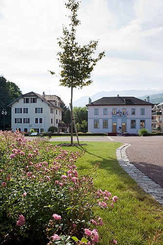
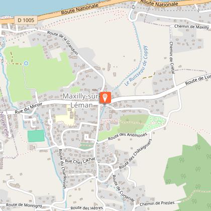
Departure : Maxilly town hall
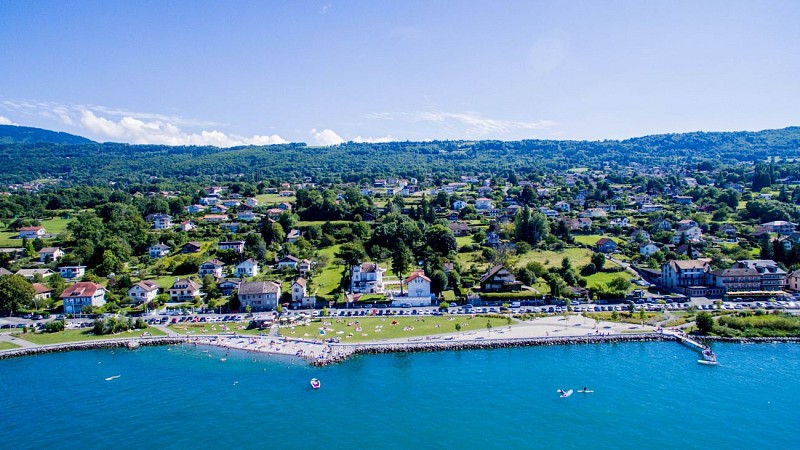
A very nice walk around the village of Maxilly sur Léman. A walk with beautiful views of Lake Geneva, but also of the Chablais massif. It is also the discovery of its still untouched pastures and chestnut forests.
Technical Information
Altimetric profile
Starting point
Points of interest
Additional information
Open period
All year round daily.
Accessible except during snow and depending on weather conditions.
Please check with the Tourist Office for the latest information on access conditions.
Updated by
Office de Tourisme Leman Mountains Explore - 16/09/2025
leman-mountains-explore.com
Report a problem
Contact
Phone : 04 50 70 00 63
Email : publier@ot-peva.com
Location complements
Starting point on the parking lot in front of the town hall of Maxilly.
Topo guides and map references
Topo guides references :
On sale in the tourist offices of the Evian region.
Map references :
TOP 25 N°3528 ET
Type of land
Ground
Hard coating (tar, cement, flooring)
Environments
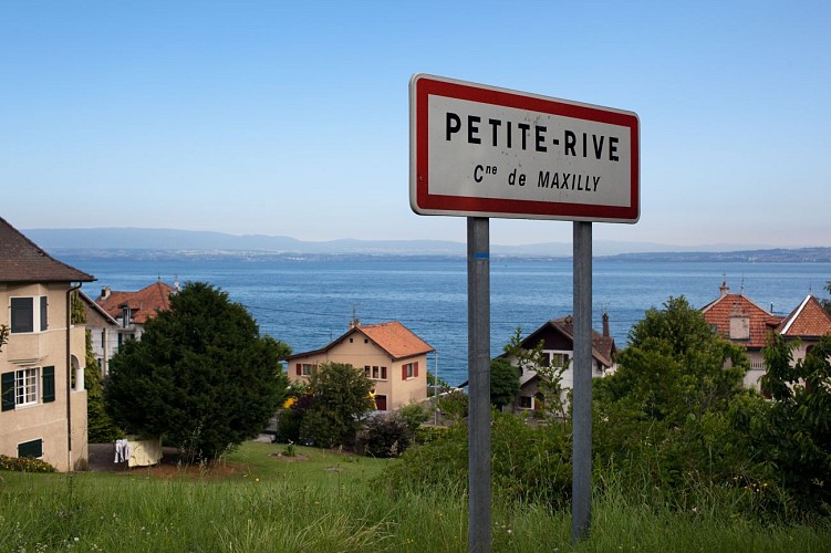
In the country
Lake view
Mountain view
Village 2 km away
Guidebook with maps/step-by-step
0/ Maxilly town hall parking lot.
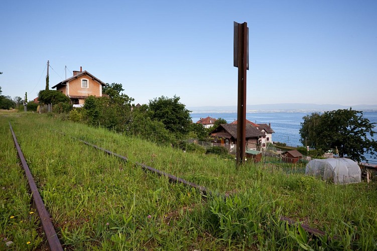
1/ To the left of the town hall, take the path that joins and runs alongside the torrent (downstream). Join a road and follow it to the left for a few metres. When it enters the railroad underpass, take the steps up the embankment and continue along the ballast to the "Bois du Bal" park. Continue along the track which joins the small Maxilly station under the castle. Go down the "route de la Grandvin" for 100 m, then continue on the "chemin de la Louchette", turn left and pass under the railway bridge.
2/ Walk up towards the old mill to reach the "Eaux d'Evian" pumping station. Cross the iron footbridge, climb the railroad sleepers to reach the second pumping station. Follow the gravel path to the "Chemin des Sources". Cross the RD again at the mirror bridge, take the old road (chemin du vieux pont). Continue on the RD and 50 m after the "Chez Grandjux" sign, turn left into the impasse des Pommiers. The road continues through the woods to the salle des fêtes parking lot.
3/ Head for the "Coppy de Montigny" stream bridge. Turn right at "route du Chardonneté", then right at "route du bois Duret", arriving in Montigny. Turn left at "route des Hêtres", passing the campsite.
4/ At the hamlet of "Curtenay", take the "chemin de Presles". At the farm, turn left to follow a path to "Croix Moury". Enter the public park and take the footpath to the right. At its end, join "rue du Clos Marchand". Turn left at the roundabout and follow the "route de Grandvin" back to the starting point.
Animals
Yes. Pets allowed on a lead.
