Alert
Alerts
Walking tour from La Norma to the Forts de l'Esseillon


Description
Ready for a foray through the forest in the coolness of Chemin du petit
bonheur? But hark, what impressive monument lies over yonder, awaiting
you in the distance? Perched on its natural promontory, the Redoute Marie-Thérèse seems to magnetically draw you in.
As soon as you leave La Norma, you'll feel the serenity of a muted walk
under spruce trees of all ages.
The fragrant scents of sap and resin wash over you throughout the journey.
A few intrepid squirrels may escort you, inspecting you with great curiosity.
Before you know it, Barrière de l'Esseillon majestically rises up ahead of
you as the path comes to an end. The giant of the valley stands before you,
invincible. In just a few minutes, it offers you a glimpse into Haute Maurienne
Vanoise's military history.
A true emblem of the valley, Redoute Marie-Thérèse has become the iconic
representative of the five Forts de l'Esseillon. Awe-inspiring? To say the least!
Technical Information
Altimetric profile
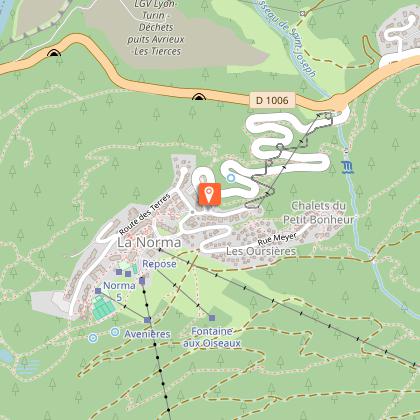
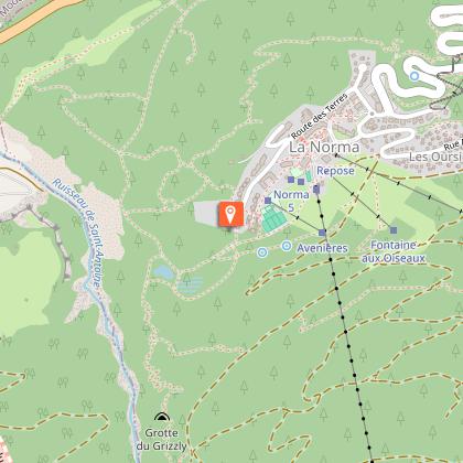
Starting point
Points of interest
Date and time
- From 01/05/2026 to 15/10/2026
- From 01/05/2027 to 15/10/2027
Additional information
Open period
From 07/06 to 11/15. Opening conditions depending of the weather and snow conditions. For information go to the Tourisme Office.
Updated by
Communauté de communes Haute Maurienne Vanoise - 19/02/2026
www.cchautemaurienne.com
Report a problem
Environments
Mountain view
Forest location
Mountain location
Contact
Phone : 04 79 05 99 06
Email : info@hautemaurienne.com
Website :
https://www.haute-maurienne-vanoise.com
http://www.cchautemaurienne.com/jy-vais-en
Type of land
Ground
Grit
Suitable for all terrain strollers
Location complements
By bus: Line 1 - Rond-point La Norma stop.
By car: park in the leisure center parking lot.
Topo guides and map references
Topo guides references :
Map and booklet "Haute Maurienne Vanoise. 120 walks and hikes - 36 trail routes. For all levels" (sold for €12 in Tourist Offices)
Map references :
Map IGN 3534OT - Les Trois Vallées
Reception complements
The duration of hiking trails is calculated using reference paces: 300 m/h ascent, 500 m/h descent and 4 km/h on the flat.
As hazards may occur at any time on the routes, the GPX tracks provided are not contractual. They are given for information only. Riders use them at their own risk, depending on their level of technological proficiency and their understanding of the terrain.
Animals
Yes. Out of respect for wildlife, please keep your dog on a lead.
Data author
