Alert
Alerts
Hike in Lugrin, through its hamlets


Description
pleasant walk in the hamlets of Lugrin, set back from the traffic, to discover a very particular traditional architecture (chapels, farms, ...).
This path will take you to the chapels of Vieille-Eglise (11th century, recently renovated) and Véron in baroque style (1754), to the farm of Prêles, which is based on multi-cropping and which had nearly 400 cherry trees in 1900, the impressive chestnut tree of Troubois and to the three-headed stone of Chez Busset, which bears witness to a distant past and was classified as a historical monument in 1954.
Technical Information
Altimetric profile
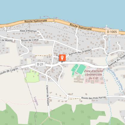
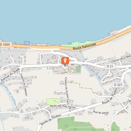
Starting point
Points of interest

Additional information
Open period
All year round daily.
Accessible depending on weather conditions. Please check with the Tourist Office beforehand to find out the current access conditions.
Updated by
Office de Tourisme Leman Mountains Explore - 16/09/2025
leman-mountains-explore.com
Report a problem
Contact
Phone : 04 50 73 60 72
Email : info@ot-peva.com
Website : https://leman-mountains-explore.com
Location complements
Departure near the tennis court in Lugrin.
Departure : Lugrin, at Vieille Eglise (Old church) parking place.
Topo guides and map references
Topo guides references :
On sale in the tourist offices of the pays d’Évian.
Map references :
TOP 25 N°3528 ET Morzine Massif du Chablais Les Portes du Soleil
Type of land
Ground
Hard coating (tar, cement, flooring)
Grit
Environments
In the country
Lake view
Mountain view
Village 2 km away
Guidebook with maps/step-by-step
1/ From the car park in front of the Vieille Eglise, go up the Presles path, which is tarmacked until you reach the farm, then well maintained until you reach the second chalet. Turn left onto the dirt track that joins the D 321. Follow this road through the woods for 500m. At the hamlet of Chez les Servoz, turn right onto a track giving access to the communal reservoir and a telephone antenna. You will find the yellow and red markings of the GR de Pays "Littoral du Léman" which you follow. Continue flat towards the east to reach the village of Véron. 2/ Cross Véron and towards the last houses, take a dirt track on the right, then turn left to reach Les Combes. At the last house, turn right and walk up the dirt track for 100 m. Then continue to the left through the woods. Pass under the storm surge tank and join a forest track. Follow it for 200 m. Then, on the left, take a slightly downhill dirt track for 500 m to a wider track. This one goes down on the left towards Troubois. 3/ At Troubois, follow the local road for 200 m then go up the Chemin des Fontaines under the village of Les Combes. From there, go back down the communal road for 300 m, and follow a dirt track on the right which joins the eastern entrance of the hamlet of Véron. Cross the village to the village of Chez Busset. To get back to Vieille Eglise, follow the Prés Parrau road and then the Chez Burquier road back to the starting point.
Animals
Yes. Pets allowed on a lead.
