Alert
Alerts
Lac de l'Orceyrette from the Centre Montagne


IGN cards


Description
Lac de l'Orceyerette offers a picture-postcard landscape worthy of the Canadian wilderness. An emerald-green lake in the heart of the Bois des Ayes Reserve, it's the ideal spot for a family picnic or fishing trip.
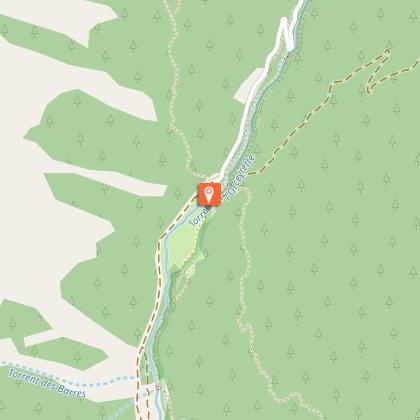
By car, park in the Centre Montagne parking lot. On foot, leave the parking lot and take the road up to the hamlet of Les Ayes. Follow the road for about 750m. Take the track on the right. This is reserved for pedestrians and mountain bikers. Continue as far as the hamlet of Les Ayes. After the hamlet, continue for 200m and take the left-hand path just before the bridge.
At Plan Peyron, cross the torrent de l'Orceyrette: a descriptive sign indicates the entrance to the Bois des Ayes reserve. Take the right-hand route up the torrent to the edge of the forest. The path rises slowly along the stream for about 2 km to the lake spillway.
At the weir, continue left to walk around the lake. Picnic tables, a campfire pit and a fishing pontoon for the disabled are located on the lakeshore.
Then reach the upstream end of the lake: the path skirts around a wetland to join the track opposite. Ignore the left-hand paths leading to the chalets, then pick up the track on the right that runs alongside the lake.
Reach the weir. Return by the same route on the right bank of the torrent.
A favorite with photographers, and the setting for the Alex Hugo series, it's also a reserve home to many remarkable bird species, including the European Pygmy-Owl, Tengmalm's Owl and Black Grouse.
Technical Information
Altimetric profile
Starting point
Additional information
Updated by
Office de tourisme des Hautes Vallées - La Grave - La Clarée - L'Izoard - 22/09/2025
www.hautesvallees.com/la-grave/
Report a problem
Contact
Phone : 06 07 07 31 08
Email : izoard@hautesvallees.com
Website : www.hautesvallees.com/lizoard/
Facebook : www.facebook.com/izoardtourisme/
Type of land
Ground
Reception complements
Park in the Centre Montagne parking lot.
Data author
