Alert
Alerts
Les Vignes


Description
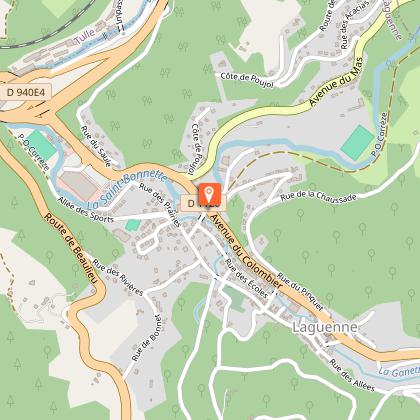
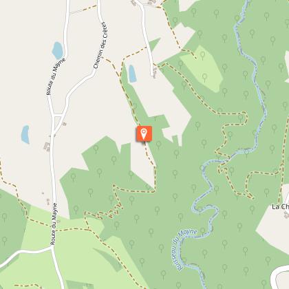
Opposite the former POC railway station, take rue de la Chaussade up to the pretty village of Boubeau. Before the bread oven, turn right to climb up to Montplaisir. At the cabane des vignerons de la confrérie, continue on the ridge path, then descend to the Transcorrézien route for a gentle return to the heart of the Saint-Bonnette valley. Orange markings.
Technical Information
Altimetric profile
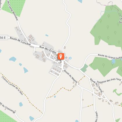
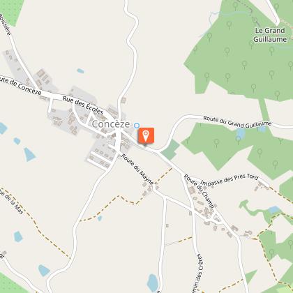
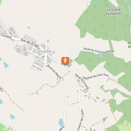
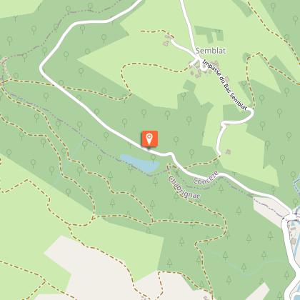
Starting point
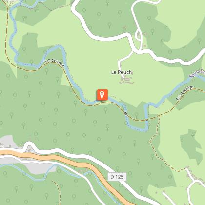
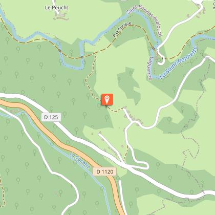
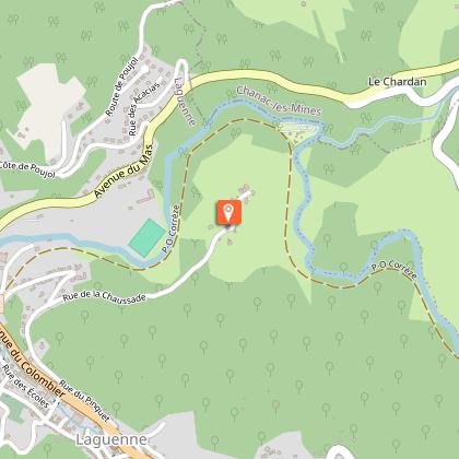
Steps


Points of interest

Additional information
Contact
Fixed telephone : 05 55 26 59 61
Web site (URL) : www.tulle-en-correze.com/
e-mail : tourisme@tulle-en-correze.com
Typologie de l'itinéraire
Loop
Thèmes
Natural
Balisage
Orange
Durée moyenne de l'expérience
1 to 2 hours
Data author
