Alert
Alerts
La chapelle d'Artiges


Description
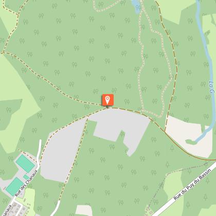
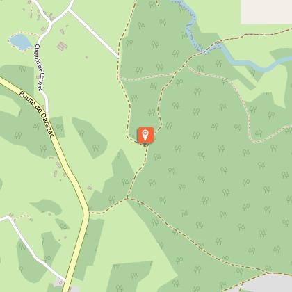
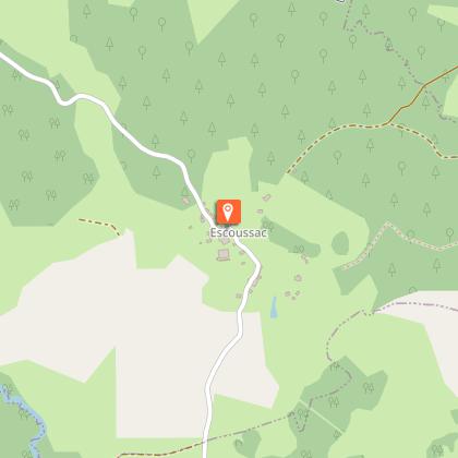
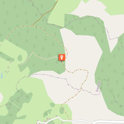
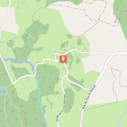
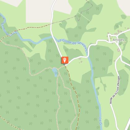
Small hike in the heart of the Xaintrie Blanche ; circuit entirely situated on the plateau, in a semi-open landscape, between birch and oak woods and chestnut groves which have become rare, with a view on the Puy du Bassin, the highest point of the Xaintrie. It leads to the Chapel of Artiges, restored, and returns to Saint Privat. To see: Chanaux water level - Escoussac village - View of the Puy du Bassin (highest point of the Xaintrie 707 metres - the Chapelle d'Artiges)
Technical Information
Altimetric profile
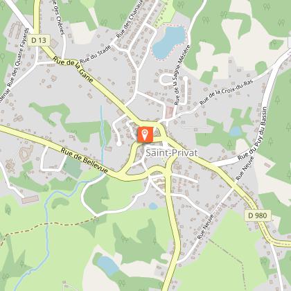
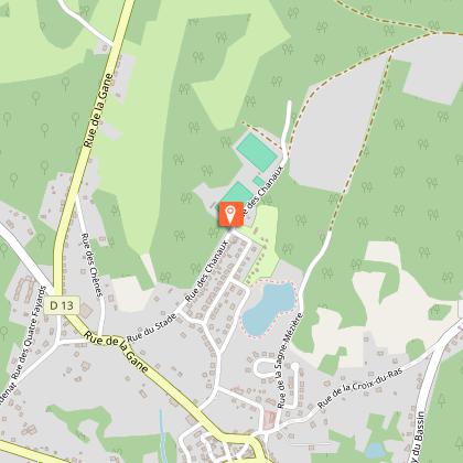
Starting point
Steps
Additional information
Contact
Fixed telephone : +33 5 65 33 22 00
e-mail : info@vallee-dordogne.com
Balisage
Yellow
Typologie de l'itinéraire
Loop
Data author
