Alert
Alerts
Entre Ganette et Saint Bonnette

Description
From the station of Laguenne you will reach the church and discover the old town and its old medieval buildings of the rue des armuriers. Cross the RD 1120 to attack the côte de la Reine which will lead you to Montplaisir, crossing the vineyards that bear witness to the commune's winegrowing past. The shaded descent of the old POC road will be welcome and the gentle return will follow the meanders of the Saint-Bonnette.
Technical Information
Altimetric profile
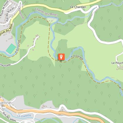
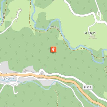
Starting point
Steps
Additional information
Contact
Fixed telephone : 05 55 26 59 61
Web site (URL) : www.tulle-en-correze.com/
e-mail : tourisme@tulle-en-correze.com
Typologie de l'itinéraire
Loop
Thèmes
Cultural
Natural
Balisage
Red
Durée moyenne de l'expérience
1 to 2 hours
Data author
