Alert
Alerts
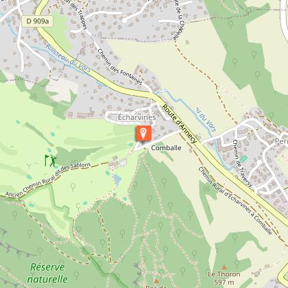
Sentier du Roc de Chère
1 alert on this circuit
RÉSERVE NATURELLE DU ROC DE CHÈRE:
Alerte visiteurs
De avril à juin, durant la période de nidification, le site est très sensible.
Merci de ne pas troubler la quiétude des lieux.


Description
The local nature reserve encompasses a part of the Roc de Chère, a small wooded massif (200 ha) which sticks out on Lake Annecy, between Menthon-Saint-Bernard and Talloires-Montmin.
This territory has been spared from urbanisation and is a remarkable place to discover nature and wonderful panoramas. Its small surface and its rolling topography are perfect for an easy family trip.
Technical Information
Altimetric profile
Starting point
Points of interest

Additional information
Environments
Mountain view
Forest location
Lake view
Sensitive Natural Area
In a nature reserve
Updated by
Office de Tourisme du Lac d'Annecy - 15/04/2026
www.lac-annecy.com
Report a problem
Open period
All year round daily.
Subject to favorable snow and weather conditions.
Contact
Website : https://onelink.to/viannecy
Type of land
Stone
Ground
Grit
Not suitable for strollers
Animals
Yes
Data author
