Parcours Chemin de Ronde

Description
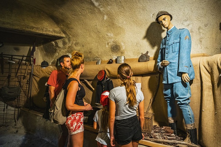
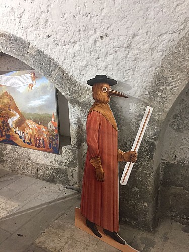
Sheltered behind the walls of the city's fortifications and along the Var river, several exhibitions bear witness to the traditions, customs and history of the people of Entrevalais.
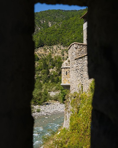
During the medieval period, the present fortified town of Entrevaux formed a sort of "castral town" located in a meander of the Var, which provided an excellent natural entrenchment. It is dominated from above by the castle, but without direct communication with it. However, this settlement is neither the only one, nor the oldest known settlement on the site, which is divided into three interdependent and more or less intertwined toponymic and topographic entities.
Originally Entrevaux was a civitate in the High Middle Ages, the seat of a diocese, known as Glandèves, but whose prestige clearly declined in the Low Middle Ages. The site of the cathedral church and the diocesan house was then distinct from the walled town, located a few hundred metres downstream in the Var plain at a place called La Seds.
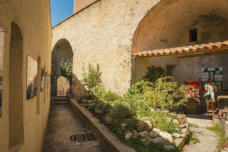
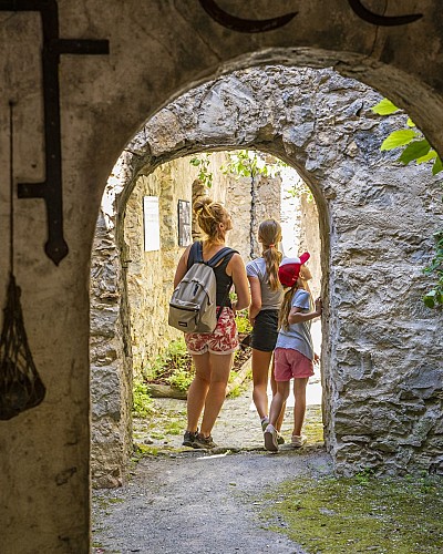
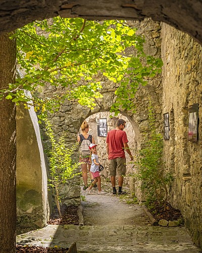
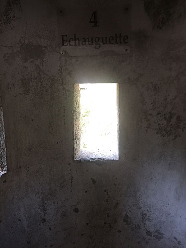
You will take many vaulted passages along the old walkway which once linked the Porte de France to the Porte d'Italie.
This walk, thanks to numerous exhibitions, is also the testimony of the traditions, customs and history of the people of Entreval, inhabitants, artists or even soldiers who lived or passed between the walls of the City.
Your visit will end by crossing one of the 2 bastions created by Vauban. Every year an exhibition loaned by the Ecomusée Roudoule en Terre Gavotte is installed there. Various themes are thus approached presenting the history, the ways of life and the traditions of the inhabitants of our valleys.
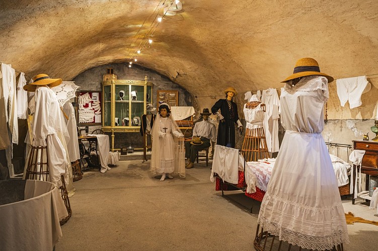
Photographic walk of an Entrevalais 1900-1937
As you walk along the Chemin de Ronde, discover the life of the Entrevalais and the landscapes of the Var valley at the beginning of the 20th century, captured with emotion by the amateur and inspired photographer Désiré Sic.
The man was born on 29 June 1883. As a young man, he discovered photography and devoted most of his life to it, taking a wide variety of pictures ranging from landscapes to portraits and from ceremonial reportage to art photography.
More than a hundred photographs chosen from several thousand glass plates, deposited by his descendants in the Archives Départementales des Alpes de Haute-Provence, evoke his deep attachment to his village and its inhabitants.
His long military career began in Nice in 1909 and ended in 1934 in Morocco. He then returned to his native town for an active retirement, before passing away on 29 September 1972.
Technical informations
206 m
|
max. 483 m
min. 470 m
| |||
Altimetric profile
Starting point
Steps
Date and time
- From 04/04/2024 to 05/11/2024
- From 04/04/2025 to 05/11/2025
Additional information
Updated by
Office de Tourisme Intercommunal Verdon Tourisme - 23/04/2024
www.verdontourisme.com
Report a problem
Open period
From 04/04 to 05/11.
Contact
Phone : 04 93 05 46 73
Email : entrevaux@verdontourisme.com
Website : verdontourisme.com
Type of land
Hard coating (tar, cement, flooring)
Not suitable for strollers
