Alert
Alerts
Fromagerie du Lavoir walking tour
IGN cards


Description
Fancy an offbeat gastronomic excursion? If for you, hiking is synonymous
with gastronomic delights and exploring local heritage, then dive right in
the deep end with a light backpack and your taste buds ready for a treat!
Who knows what you'll bring back from your trip?
With a determined step, you take the route du Lavoir, curious to discover what's hidden at the end of the forest. Suddenly, you're on the Maginot Line! Look to your right... what is this curious mute witness to the 2nd World War? A veritable little land submarine, with only a tiny rounded concrete section visible. Brought back to the present by the sound of the Charmaix torrent, you take the opportunity of your visit to the mountain pastures to sample the specialities made at the Lavoir cheese dairy. You'll soon learn everything there is to know about making Beaufort d'Alpages, tomme, raclette, sérac and fromage blanc! And since you've still got room in your rucksack, you're off on the hunt for delicacies. Your picnic suddenly looks like a high-altitude feast. But now it's time to head back and meet the hikers on the famous GR5 trail for which the valley is famous.
Technical Information
Altimetric profile
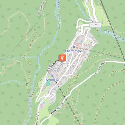
Starting point
Points of interest
Date and time
- From 15/05/2025 to 15/10/2025
- From 15/05/2026 to 15/10/2026
Additional information
Open period
From 15/05 to 15/10.
Subject to favorable snow and weather conditions.
Updated by
Communauté de communes Haute Maurienne Vanoise - 23/12/2025
www.cchautemaurienne.com
Report a problem
Environments
Mountain view
Mountain location
Presence of livestock and guard dogs
Close to a public transportation
Near shuttle stop
Contact
Phone : 04 79 05 99 06
Email : info@hautemaurienne.com
Website :
https://www.haute-maurienne-vanoise.com
http://www.cchautemaurienne.com/jy-vais-en
Type of land
Rock
Stone
Ground
Not suitable for strollers
Location complements
By bus: Line 1 - Tourist Office stop
By car: park in front of the equestrian center, near the Tavernes gites.
Topo guides and map references
Topo guides references :
Map and booklet "Haute Maurienne Vanoise. 115 walks and hikes - 35 trail routes. For all levels" (sold for €10 in Tourist Offices) - Itinéraire bleu n°25
Map references :
Map IGN 3535OT - Névache Mont Thabor
Reception complements
The duration of hiking trails is calculated using reference paces: 300 m/h ascent, 500 m/h descent and 4 km/h on the flat.
As hazards may occur at any time on the routes, the GPX tracks provided are not contractual. They are given for information only. Riders use them at their own risk, depending on their level of technological proficiency and their understanding of the terrain.
Guidebook with maps/step-by-step
To guide you in the field, consult the "step-by-step" directional diagram provided in pdf.
Animals
Yes. Pets allowed on leash only.
Data author
