Alert
Alerts
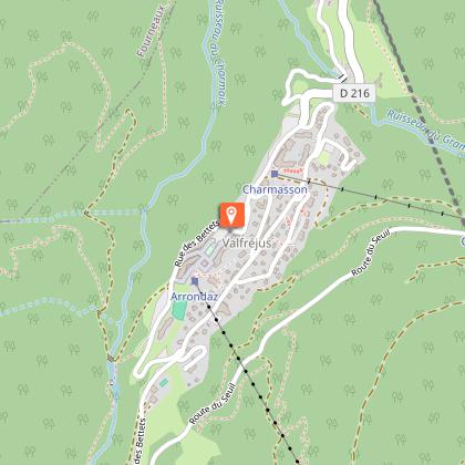
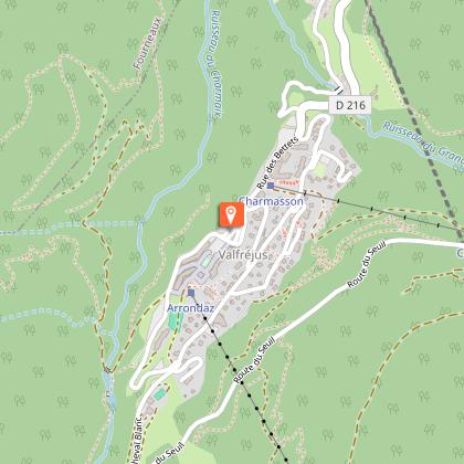
Col d'Arrondaz hiking loop - Hameau du Jeu

IGN cards


Description
Like Chemin des Gardes, this trail gives you privileged access to some of the most beautiful parts of the Valfréjus' high plateaus. Your efforts are rewarded with fresh air and the splendour of the high mountains! The peaks make you feel so small…
The moment you come out of the Arrondaz cable car, you feel the call of the peaks. A little exercise on foot to explore this rocky world takes you far from the chairlifts. Marmots, vultures, and black grouse sometimes join in the game, scrambling down their favourite scree slopes to shyly accompany you. If it weren't for the little Col chairlift, you'd think you were a million miles from human activity. You're sharing the mountainside with herds of alpine animals, gracefully making their way across the slopes as you watch, fascinated. When you stop to cool off at Pas du Roc, you'll catch a glimpse of the fortress perched on the cliffside. Here, the Maginot line left an indelible mark during World War II. As you head back down, your mind is full of unforgettable images, already treasured memories of this little-known nature reserve. Look, there's Le Lavoir cheese dairy. Such a welcoming place... Fancy getting to know it better? Mark it down for your next trip (volume 1).
Technical Information
Altimetric profile
Starting point
Points of interest


Date and time
- From 15/05/2026 to 15/10/2026
Additional information
Open period
From 15/05 to 15/10.
Accessible by ski lift in summer.
Subject to favorable snow and weather conditions.
Updated by
Communauté de communes Haute Maurienne Vanoise - 23/12/2025
www.cchautemaurienne.com
Report a problem
Environments
Mountain view
Mountain location
Presence of livestock and guard dogs
Close to a public transportation
Near shuttle stop
Contact
Phone : 04 79 05 99 06
Email : info@hautemaurienne.com
Website :
https://www.haute-maurienne-vanoise.com
http://www.cchautemaurienne.com/jy-vais-en
Type of land
Rock
Stone
Ground
Not suitable for strollers
Location complements
Departure from the top of the Arrondaz gondola.
By bus: Line 1 - Tourist Office
By car: park in the parking lot near the Valfréjus Tourist Office.
Topo guides and map references
Topo guides references :
Map and booklet "Haute Maurienne Vanoise. 115 walks and hikes - 35 trail routes. For all levels" (sold for €10 in Tourist Offices) - Orange itinerary n°59
Map references :
Map IGN 3535 OT - Névache Mont Thabor
Reception complements
The duration of hiking trails is calculated using reference paces: 300 m/h ascent, 500 m/h descent and 4 km/h on the flat.
As hazards may occur at any time on the routes, the GPX tracks provided are not contractual. They are given for information only. Riders use them at their own risk, depending on their level of technological proficiency and their understanding of the terrain.
Guidebook with maps/step-by-step
To guide you in the field, consult the "step-by-step" directional diagram provided in pdf.
Animals
Yes. Pets allowed on leash only.
Data author
