Alert
Alerts
Chemin des Gardes by le Seuil on foot
Description
In the summer, you can effortlessly get up the mountain by cable car to explore the Arrondaz plateau. Off-season, you must rely on your legs to power up to the top. Welcome to the high-altitude plateaux of Valfréjus. What a complete change of scene! One thing's for sure, you won't want to leave it at that…
At the foot of the prestigious peaks of Valfréjus, get ready to succumb to the many charms of the high mountains. Punta Bagna, Pointe de Fréjus, Pointe d'Arrondaz... here they all are, watching over you. When you arrive on the plateau, you'll be greeted by herds of animals, traditional chalets, and a clear sky: a truly captivating sight that'll make you forget all about the valley below. In the silence of the alpine meadows, broken only by the bells of the herds and the murmur of the Grand Vallon torrent, stop at the Arrondaz chalets to bask in the tranquillity of this protected area. At this time of year, it's hard to imagine this area blanketed in snow... The way back to the resort involves a descent 660 metres, take care on the way down. It'll be a challenge for your legs and ankles if you're not used to skipping along on rocky trails. Go at your own pace and breathe in the fresh air.
Technical Information
Altimetric profile
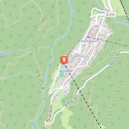
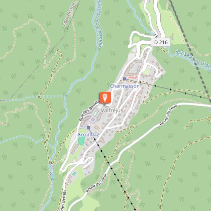
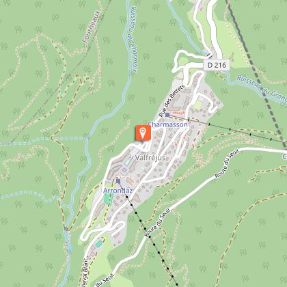
Starting point
Points of interest

Date and time
- From 15/03/2026 to 15/10/2026
- From 15/03/2027 to 15/10/2027
Additional information
Open period
From 15/03 to 15/10 daily.
Accessible by ski lift in summer.
Subject to favorable snow and weather conditions.
Updated by
Communauté de communes Haute Maurienne Vanoise - 19/02/2026
www.cchautemaurienne.com
Report a problem
Environments
Mountain view
Forest location
Mountain location
Village centre
Presence of livestock and guard dogs
Close to a public transportation
Near shuttle stop
Contact
Phone : 04 79 05 99 06
Email : info@hautemaurienne.com
Website :
https://www.haute-maurienne-vanoise.com
http://www.cchautemaurienne.com/jy-vais-en
Type of land
Stone
Ground
Not suitable for strollers
Location complements
To reach the start of the hike, take the Arrondaz cable car.
By bus: Line 1 - Tourist Office stop.
By car: park in front of the Valfréjus Tourist Office.
Topo guides and map references
Topo guides references :
Map and booklet "Haute Maurienne Vanoise. 120 walks and hikes - 36 trail routes. For all levels" (sold for €12 in Tourist Offices)
Map references :
Map IGN 3535OT - Névache Mont Thabor
Reception complements
The duration of hiking trails is calculated using reference paces: 300 m/h ascent, 500 m/h descent and 4 km/h on the flat.
As hazards may occur at any time on the routes, the GPX tracks provided are not contractual. They are given for information only. Riders use them at their own risk, depending on their level of technological proficiency and their understanding of the terrain.
Guidebook with maps/step-by-step
To guide you in the field, consult the "step-by-step" directional diagram provided in pdf.
Animals
Yes. Pets allowed on leash only.
Data author
