Alert
Alerts
Stage 2: Le Pontet - Refuge de La Perrière GR®738

IGN cards


Description
Plunging into the heart of the vast mountain pastures of the Grande Montagne de Presle and Verneil, these landscapes still offer us many clues to the dairy activity of yesteryear.
The climb from Le Pontet to the Col du Champet is mainly forested. The ridge above Chalet d'Arbaretan offers magnificent views of Mont Blanc. The ascent to Col de la Perche and then to the summit of Chapotet offers a bird's-eye view of the Grande Montagne de Presle and Verneil mountain pastures. These are home to local herds of heifers and suckler cows, from June to October. For a long time, these pastures were successful and popular, but the decline in livestock farming from the 1940s onwards and the abandonment of many alpine pastures led to a decline in dairy pastoral activity. Today, there are very few dairy pastures in Belledonne. As a result, the pastoral chalets on the Savoyard side are seldom used, as farmers go up to see their herds for the day before returning to their farms. The descent to the Gargoton springs and the ascent to the Col de la Perrière via the Combe de l'Arbet neuf is very wild and unspoilt.
Technical Information
Altimetric profile
Starting point
Points of interest

Date and time
- From 15/06/2026 to 15/09/2026
Additional information
Environments
Forest location
Updated by
Isère Attractivité - 18/12/2025
www.alpes-isere.com
Report a problem
Open period
From 15/06 to 15/09.
Subject to favorable snow and weather conditions.
Topo guides and map references
Topo guides references :
TopoGuides® FFRandonnée Ref.738 La Haute Traversée de Belledonne - Le sentier des bergers.
Map references :
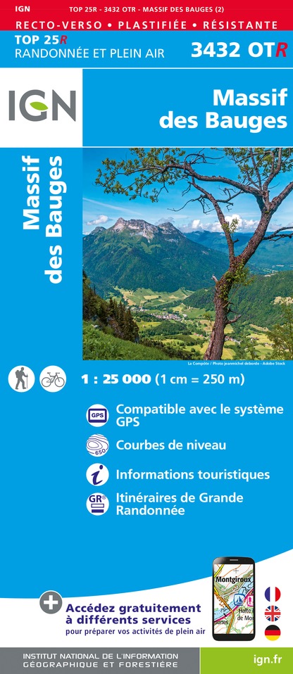
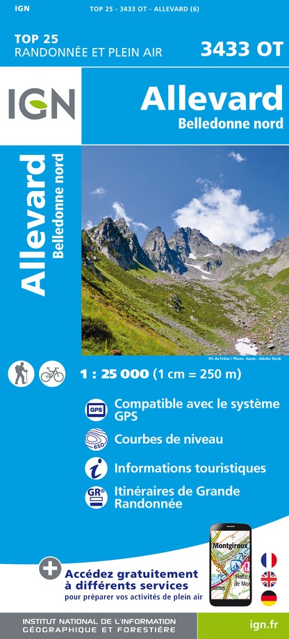
IGN: TOP 25 3433 OT
Contact
Phone :
04 79 36 29 24
04 79 25 53 12
Website :
https://www.ffrandonnee.fr/_483/bien-preparer-sa-randonnee.aspx
http://www.grandfilon.net
http://www.tourisme.coeurdesavoie.fr
http://www.montagnesnaturehommes.org
Reception complements
Recommended equipment :
Hiking shoes
Depending on the weather: hat or cap, sunscreen, sunglasses and/or rain gear, walking sticks, meat bag, flashlight, toiletries, warm fleece, hat in cool weather (windbreaker, Gore-Tex, etc.).
Rucksack with water bag or 2-liter water bottle
Snacks
Guidebook with maps/step-by-step
From the Pontet marsh, take the path through the forest, past the "baraque à Michel" and on to the Col du Champet. Follow the ridge to Col de la Perche, overlooking the Arbaretan mountain pasture. Descend to the Gargoton springs, climb to the Col de la Perrière and continue to the refuge of the same name.
Animals
Yes. Pets allowed on leash only.
