Alert
Alerts
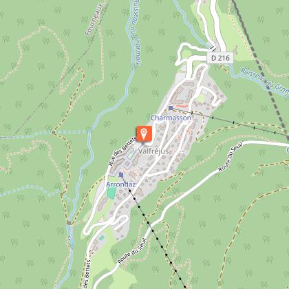
Enduro Trail - Valfréjus Arrondaz

IGN cards


Description
The climb requires a good level of fitness, especially with a muscle-powered MTB as you have 13 km ahead of you of which 10 are uphill for an elevation gain of 950 metres.
Technical Information
Altimetric profile
Starting point
Points of interest
Date and time
- From 15/06/2026 to 01/10/2026
Additional information
Open period
From 15/06 to 01/10.
Subject to favorable snow and weather conditions.
Updated by
Communauté de communes Haute Maurienne Vanoise - 23/12/2025
www.cchautemaurienne.com
Report a problem
Environments
Ski resort
Mountain location
Contact
Phone : 04 79 05 99 06
Email : info@hautemaurienne.com
Website : https://www.haute-maurienne-vanoise.com
Type of land
Ground
Location complements
Start the ascent at the Arrondaz gondola departure station.
To get there by car: park in the parking lot near the Tourist Office or the gondola.
By bus: Line 1 - Tourist Office stop (no bicycle transport on this line).
Topo guides and map references
Topo guides references :
Haute Maurienne Vanoise mountain bike map and booklet sold in Tourist Offices.
Reception complements
As hazards may occur at any time on the routes, the GPX tracks provided are not contractual. They are provided for information only. Riders use them at their own risk, depending on their level of technological proficiency and their understanding of the terrain.
Animals
Yes. Dogs on a leash are not forbidden on this trail, but mountain bikers are advised not to use it.
Data author
