Dent du Villard return
Description
Start with the sound of the torrent in the forest, and discover at the top a stunning panorama and an outstanding geological place, straddling between Courchevel, le Planay and the Vanoise
Technical informations
12 km
|
max. 2281 m
min. 1127 m
1250 m
1250 m
| |||
Altimetric profile
Starting point
Points of interest
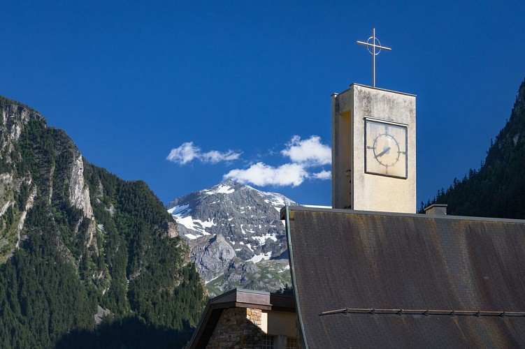
Le Planay
Le Planay Chef-lieu (1130 m) is quite typical by the way of how it is built: with houses on both sides of the road that leads to Pralognan la Vanoise. In this valley between the mountain Dent du Villard (2280m), the Vuzelle (2654m) and the Grand Bec (3398m), it’s really surprising to find a “modern” church.If you are going through the village you could make nice discoveries showing the popular faith of the former mountain dwellers: small oratory Saint Anne protecting the village against the avalanche of the Dent du Villard, the grotto Notre Dame de Lourdes erected in 1920 by a family who lost his son in the mountain and finally the church with its surprising modern architecture built in 1972 which has replaced the old one built in 1628. You can’t go to the Planay village without looking at the Vuzelle waterfall, which has more than 100 m of height, sometimes water, sometimes ice; it has been classified at the national patrimony in 1935. In the 40s, some works were made by EDF to pick up the water after the drop, to bring the water 764 m down by penstock to a hydroelectric plant in the Villard. Le Planay village is also the departure of numerous hiking trails.
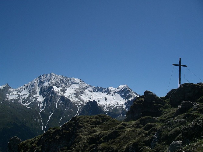
Dent du Villard
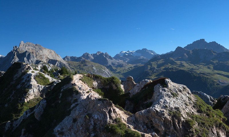
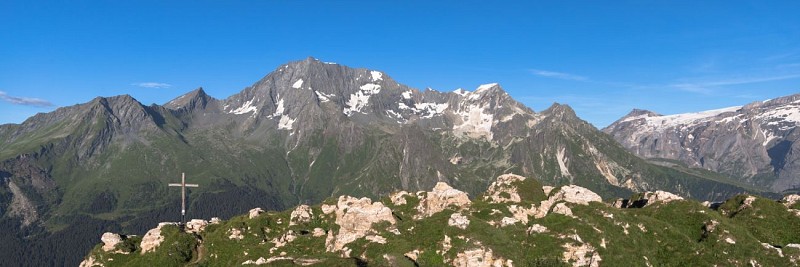
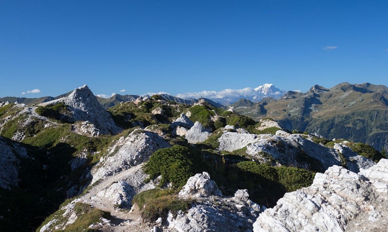
La Dent du Villard is a peak that offers a beautiful panorama of the Vanoise massifs, Mont Blanc and the surrounding peaks. This summit is original because it composed of gypsum, it offers a surprising landscape.The top: La Dent du Villard is located at 2284 m. Geology: La Dent du Villard is an extrusion of gypsum (calcium sulphate), one of the most massive in France. This permeable mineral, partly soluble under rainwater, produces phantasmagoric reliefs, with sharp edges and conical hollows called “dissolution funnels.” Since Dent du Villard is a Natura 2000 area, the flora contains many rare or remarkable species (Sabot de Venus, etc).
Date and time
- From 01/05/2024 to 31/10/2024
- From 01/05/2025 to 31/10/2025
Additional information
Updated by
Communauté de Communes Val Vanoise - Vallée de Bozel Tourisme - 18/04/2024
www.valleedebozel.com
Report a problem
Open period
From 01/05 to 31/10.
Depending on snow condition.
Contact
Phone : 04 79 55 03 77
Email : info@valleedebozel.com
Website : www.valleedebozel.com
Facebook : fr-fr.facebook.com/valleedebozel/
