Alert
Alerts
Les coteaux d'Aigueblanche - B12


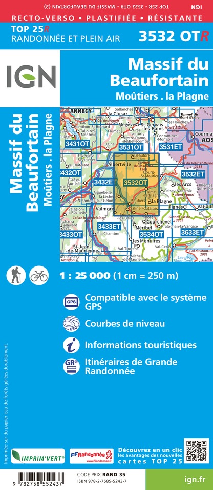
IGN cards


Description
An accessible route without major technical difficulty to explore the hills of Aigueblanche.
The modest elevation allows occasional walkers and active families to cover it for half a day. Half of the route is through undergrowth, and the other half on open paths exposed to the sun through meadows and orchards.
On leaving the village of Grand-Coeur, the route branches off to the left and takes a very pleasant little path in the undergrowth. You then cross a meadow area by a wider path, offering beautiful views of the Tarentaise valley. On the opposite slope, you can see the Morel valley and its 82m waterfall, as well as the Black Horse (2,832m) which dominates it.
You then reach the village of Villoudry (720 m) which you cross to re-enter a sector alternating meadows and undergrowth. After a few stretches of road, interspersed with passages on small paths, you reach the highest point of the loop: the Baroque church of Villargerel (845 m), a listed historic monument.
You then retrace your steps to the exit of Villargerel, then turn left towards Villoudry. A pleasant path in the undergrowth leads you to Bellevue (600 m). Be careful, you cross the road several times. You then reach Sous les Granges (510 m), and follow the departmental road for 300 meters passing under the national road. You branch off to the right before crossing the bridge on the railway track and follow it via a small road. After passing the Plan du Truy (460 m), you return to Grand Coeur by the Chemin des Vignes from which you observe ancient terraces dedicated to vines and several sartots (small sheds) which were formerly used by the farmers of the hillside.
Technical Information
Altimetric profile
Starting point
Date and time
- From 01/05/2026 to 31/10/2026
Additional information
Environments
Mountain view
Mountain location
Updated by
Office de Tourisme de Valmorel et des Vallées d'Aigueblanche - 12/06/2025
www.valmorel.com
Report a problem
Open period
From 01/05 to 31/10.
Contact
Phone :
04 79 09 85 55
04 79 22 51 60
Email :
info@valmorel.com
lalecherelesbains@valmorel.com
Animals
Yes
Data author
