Alert
Alerts
Type of practice
Walking
Medium
20h
Presentation
Description
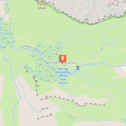
Map
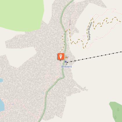
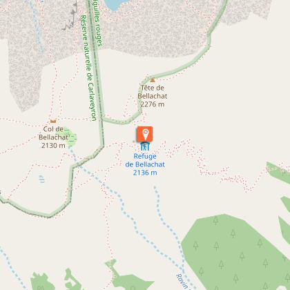
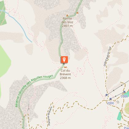
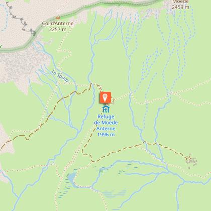
Points of interest
Ratings and reviews
See around
Tout des Aiguilles Rouges

Credit : Bénédicte Sage
Description
Une partie du tour des Aiguilles Rouges qui se termine dans la vallée de Sixt
Technical Information
Walking
Difficulty
Medium
Duration
20h
Dist.
40 km
Type of practice
Walking
Medium
20h
Show more
Altimetric profile
Starting point
74400
Chamonix-Mont-Blanc
Lat : 46.00351Lng : 6.92367
Points of interest

Data author

proposed by
Elora
France
Ratings and reviews
To see around