Alert
Alerts
The salt fountain cirque trail
Description
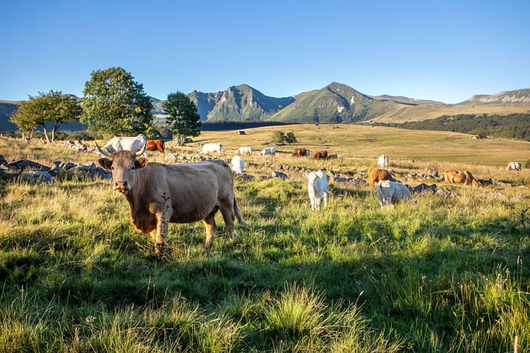
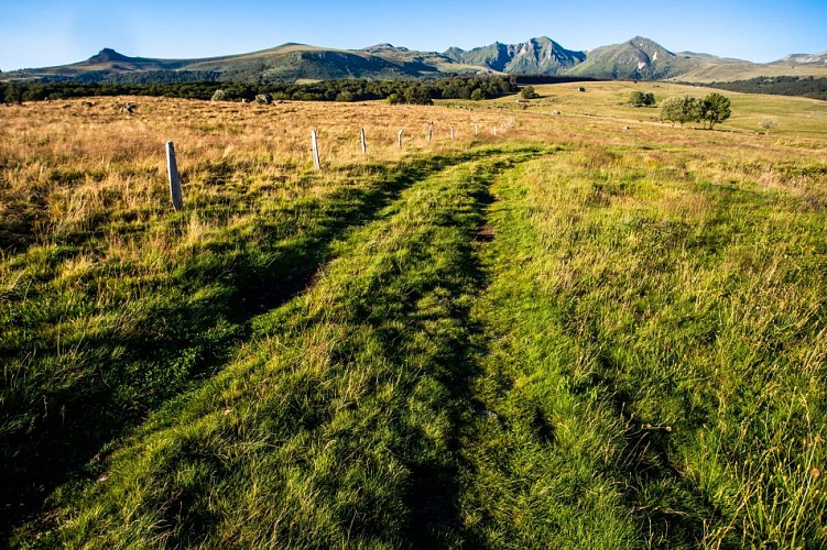
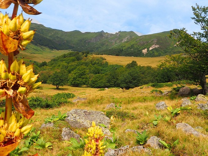
One of the department's most beautiful hikes, it takes in the impressive glacial valley of the Fontaine Salée, offering breathtaking views of the south face of the Puy de Sancy and panoramas of the Artense and Cézallier mountains: fabulous!
Technical Information
Altimetric profile
Starting point
Date and time
- From 01/04/2026 to 31/10/2026
Additional information
Open period
From 01/04 to 31/10/2026.
Subject to favorable snow and weather conditions.
Distinctions
Listed PDIPR
Environments
Mountain location
Contact
Phone : 04 73 21 52 00
Email : accueil-otsancy@sancy.com
Website : https://www.sancy.com/decouvrir/toutes-les-communes/chastreix/
Type of land
Ground
Updated by
Conseil départemental du Puy-de-Dôme - 09/10/2026
www.puydedome-tourisme.com/
Report a problem
Reception complements
For your own safety, always take a bottle of water, a hat, warm clothing and footwear suitable for walking.
Depending on weather conditions, certain itineraries are not recommended in bad weather (fog) or are not practicable, or even forbidden, during the winter season.
Some sites are fragile, so stay on the marked trails. Avoid picking wild flowers and disturbing wildlife. Pick up your garbage.
Animals are not allowed on some routes.
Guidebook with maps/step-by-step
1/ Start sign on right at hairpin bend after parking lot. Take the wide forest track. Follow signs for "Fontaine salée" (departmental signs). After leaving the forest, go through two gates and reach a chicane. After a ruin, turn right and take the narrow grassy path winding through the forest. Continue until you reach a chicane at the end of the wood.
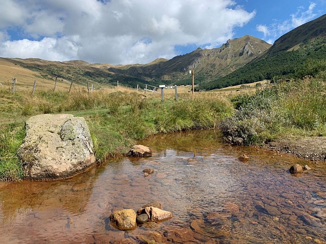
2/ From the chicane, follow the grassy path down into the valley to a gate and, turning left, to an information panel and a wooden footbridge over the stream.
3/ Take the footbridge (panoramic view of the Fontaine Salée cirque) and walk along the fence until you reach the GR®30. At this point, turn around. Back at the chicane at point 1, continue straight ahead along the same path as before. After about 100 m, leave the outward path and turn right onto a flat forest path. Once out of the forest, pass three stepladders. After the third, climb up to the right. Pass a fourth stepladder and follow the path along the forest edge. After a chicane, join the D615 road (view of the Monts du Cantal) and turn left to return to the starting point.
Proposed and managed by the Conseil départemental du Puy-de-Dôme - PDIPR.
Animals
No pets allowed.
Data author
