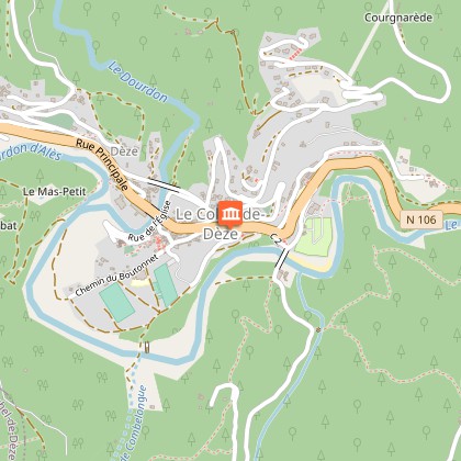
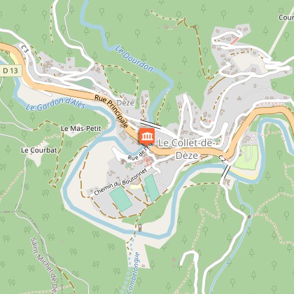
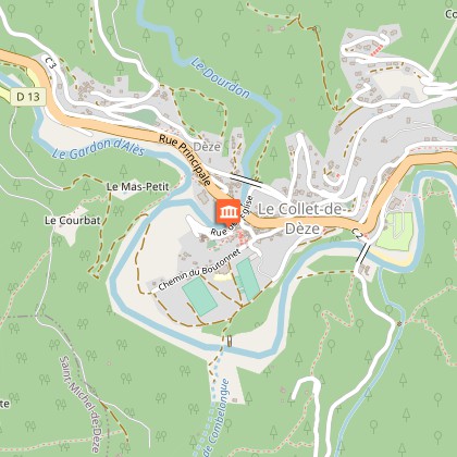
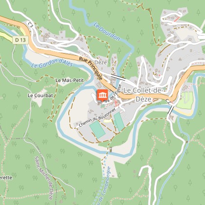
To see around
See more
Open
Close
Show
Show
Show
Show
Show
Show
Show
Show
Show
Show
Show

Oups... It would appear that Cirkwi does not have permission to use your location.

Description
Map
Points of interest
Ratings and reviews
See around

Old Collet walk

Le pont Roupt
Le Vieux Collet
Credit : © A. Nicolas

Description

The walk takes you to the centre of the old village using the former Royal road, which was once the only track from Chamborigaud to Saint German-de-Calberte.

This walk has eleven numbered information panels.

Technical Information

Walking
Difficulty
Not specified
Duration
1h30mn
Dist.
2 km
Show more

Altimetric profile

Starting point

Lat : 44.2454Lng : 3.9235713

Points of interest

image du object

Starting-point

Le Collet-de-Dèze (altitude: 304 m) sits in a vast loop of the river Gardon d’Alès. This has given the valley stretching from La Grand’Combe to the Col de Jalcreste its name of Vallée Longue. Le Collet has 711 inhabitants.

- Parc national des Cévennes -
Consulter
image du object

Mediaeval mills at the heart of the village

There were many mills in the Cévennes, on most waterways.At Le Collet, a canal flowing under the village used to supply water to a series of three mills with horizontal millwheels. This canal, known as a trincat, passed through a partially vaulted tunnel built under the village.

- Parc national des Cévennes -
Consulter
image du object

A junction of merchants and travellers

Le Collet-de-Dèze was an important stopping-point on the diocese road from Chamborigaud to St Germain-de-Calberte. In the Cévennes, the building of roads suitable for wheeled traffic slowed down from the 16th century onwards, partly due to the King – as a means of bullying the local populations, which had converted to Protestantism – and partly due to the Cévenol communities, which did not wish to make it easier for royal troops to reach them by these new roads. At the end of the 19th century, the village was transformed and modified by new traffic arteries when the Route Nationale was opened and the railway arrived.

- Parc national des Cévennes -
Consulter
image du object

Remembrance of bridges past

In the 18th century, an old stone bridge crossed the Dourdon river. After it was washed away by a violent flood, an “American-style” wooden footbridge was built to replace it in the mid-19th century. The current bridge was constructed for the Route Nationale.

- Parc national des Cévennes -
Consulter
image du object

From the cliff top: 5,000 years of history

The vestiges of the Château de Dèze, a private property not open to visitors, testify to the importance of the site from the Middle Ages onwards. The current church has replaced the former church located in Le-Chambon-de-Dèze.

- Parc national des Cévennes -
Consulter
image du object

A model of Protestant architecture: the temple

This is the only temple to have withstood the destruction ordered by King Louis XIV after revoking the Edict of Nantes (which had made Protestantism an officially tolerated religion in France). The assassination of the Abbot du Chayla in Le Pont-de-Montvert on 25 July 1702 triggered the Camisard War. The first important action of a group of insurgents occurred in Le Collet on 8 September, during a meeting in the temple. 1703 was also the year when almost all villages in the Cévennes were reduced to ashes by the King’s troops as a reprisal. The parish of Le Collet was partially burnt down on 6, 7 and 8 December 1703. The “Wilderness period” (so called because Protestants had to worship in secret, often in the mountains) lasted from this violence until the French Revolution.

- Parc national des Cévennes -
Consulter
image du object

Of stone and men

Right at the centre of the old Collet, you can see a row of facades, some of which date from the 16th and 17th centuries. Mullion windows and sculpted bands can still be seen today. Traditional Cévenol dwellings are characterised by the use of local resources (sweet-chestnut wood, stone, render, etc.) and the need to meet agricultural requirements.

- Parc national des Cévennes -
Consulter
image du object

Le Boutonnet hamlet

This hamlet, located near the path leading to Roupt Bridge, is one of the oldest in the district. Only two small buildings and the wells still exist.

- Parc national des Cévennes -
Consulter
image du object

The priory of Saint-Jean-du-Chambon-de-Dèze

The first church was built on this site. The hamlet of Le-Chambon-de-Dèze grew up around it. Remodelled and destroyed several times, the hamlet was finally swept away almost entirely by a flood in 1811.

- Parc national des Cévennes -
Consulter
image du object

Bridge and gardonnades

  Roupt Bridge bears witness to mediaeval bridge architecture, but also to the violence of floods in the Cévennes. Gardonnades is a local word for the “Cévenol episodes” (sudden violent floods) of the various Gardon rivers, caused by rain coming from the Mediterranean. Because the rain falls on steep terrain that is partly impermeable, rivers swell rapidly and sweep away soil and gravel. In 1907, 1,650 mm of rain fell on Le Collet in 34 days. The 1811, 1861 and 1899 gardonnades were especially devastating. Closer to our day, in 1958 a flood destroyed several road structures downstream of Le Collet-de-Dèze.

- Parc national des Cévennes -
Consulter
image du object

A bridge mistreated by the Gardon river

The metal Richaldon Bridge, built at the end of the 19th century, served the mines. It has also experienced flood-related misfortunes. Mining profoundly shaped the economic activity of the Vallée Longue in the 19th and 20th centuries. The antimony mine was opened in the 18th century. It was in use throughout the 19th century and was complemented by a foundry in 1896. All activity at the site ceased in 1951. Lead was mined from 1860 to 1868. From the 19th century on, many farmers were also employed in the mines in La Grand'Combe, alternating mining with their work in the fields. This phenomenon persisted until the 1980s.

- Parc national des Cévennes -
Consulter

Additional information
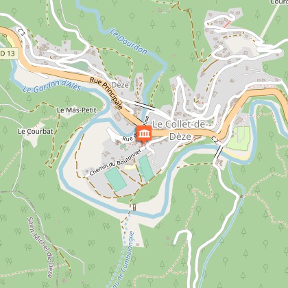
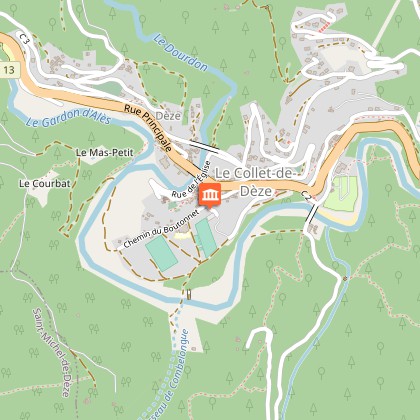
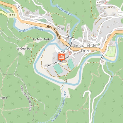
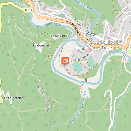
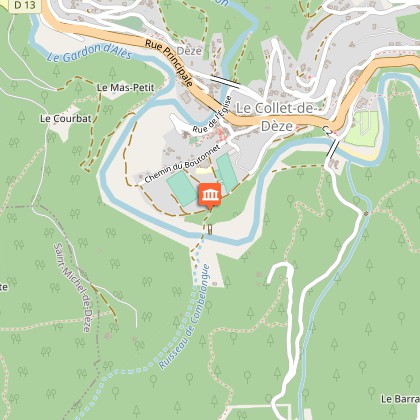
Departure

Opposite the tourist office

Arrival

Car park

Ambiance

This is a walk through the historical heart of Le Collet-de-Dèze with its old Cevenol houses, to the temple (Protestant church) built in 1646 and the top of the Puech de la Sabaterie hill. The village of Le Collet-de-Dèze is located on a strategic communication route linking the Cévennes with the coast. It has been shaped throughout its existence by floods, so-called Cevenol episodes, and also bears witness to the history and memory of the Camisard War.
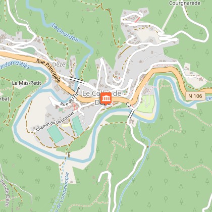
Access

Le Collet-de-Dèze, on the N 106 between Florac and Alès

Advised parking

Parking du kiosque

Public transport

Ligne 9, arrêt le Collet-de-Dèze

Advice

Ce sentier comporte onze panneaux numérotés.

Data author

Ratings and reviews

To see around
See more
Open
Close
Show
Show
Show
Show
Show
Show
Show
Show
Show
Show
Show
Caution!
We have no information on the difficulty of this circuit. You may encounter some surprises along the way. Before you go, please feel free to inquire more and take all necessary precautions. Have a good trip! 🌳🥾