Alert
Alerts
Mauripe


Description
This walk winds through the lowest foothills of the Cevennes, where the limestone of the piedmont plain meets the granite slopes of Mont Liron.
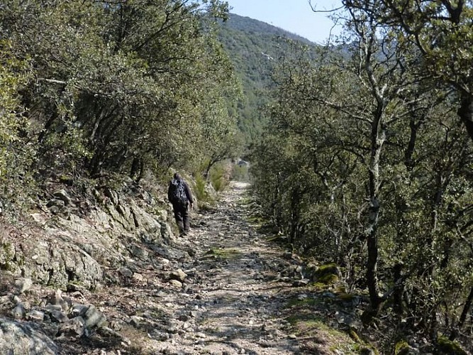
From the car park, head towards La Pierre Plantée / Mairie de Soudorgues via Les Quatre Chemins. Pass the mairie and then the temple (Protestant church). At the crossroads, turn left towards Col de Cabane Vieille / La Pierre Plantée. At the fork, continue towards Col de Cabane Vieille / Le Four à Chaux. The road leads to a hairpin bend. At the apex of the bend, a small path leads you to the lime kiln (do not enter the walled-in area – the site is dangerous). Take the GR63 long-distance hiking path on your left for about a hundred metres, then take the path on the right, which crosses to the other slope further on, to the rocks signposted Col du Mercou / Sous le Mauripe. Shortly afterwards, a signpost points left into the rocks Col du Mercou / Serre des Ubacs. This is where you start your climb to the summit of Mauripe. The path switches back and forth between the Salindrenque side and the Mercou side. At the top, take the path that winds left, then curves to the right. The descent, which is rather steep, leads to the Serre des Ubacs in a few minutes. Turn right towards Col du Mercou / Mercou. The path on which you return to Soudorgues / Les Quatre Chemins, forks off to the right towards Le Moina. Head back to the car park by following "Soudorgues / Mairie de Soudorgues".
Technical Information
Altimetric profile
Starting point
Points of interest
Additional information
Departure
Soudorgues
Arrival
Soudorgues
Ambiance
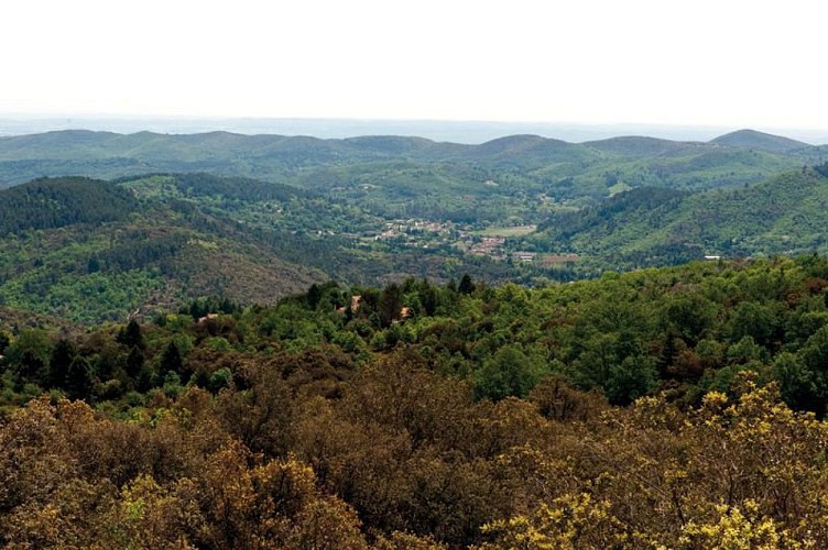
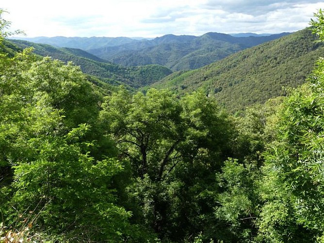
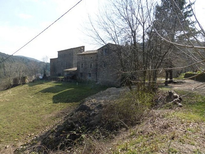
This southern part of the Cevennes is home to the historic mas (farms) and hamlets of Soudorgues, a region of religious resistance. The summit of Mauripe, less than 20 km as the crow flies from the peak of Mont Aigoual, overlooks them all, offering the visitor plunging 360° views.
Access
From Anduze, take the D 907 road towards St Jean du Gard, then the D 57 to Thoiras / Lasalle. Drive through Lasalle and Les Horts on the D 39, then turn off towards Soudorgues (D 271).
Advised parking
50 m before the mairie (town hall)
Advice
Make sure your equipment is appropriate for the day's weather conditions. Remember that the weather changes quickly in the mountains. Take enough water, wear good shoes and put on a hat. Please close all gates and barriers after yourself.
Data author
