Alert
Alerts
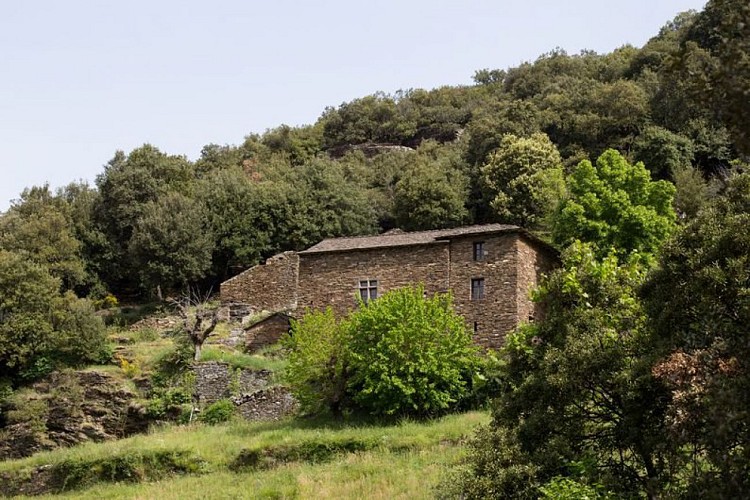
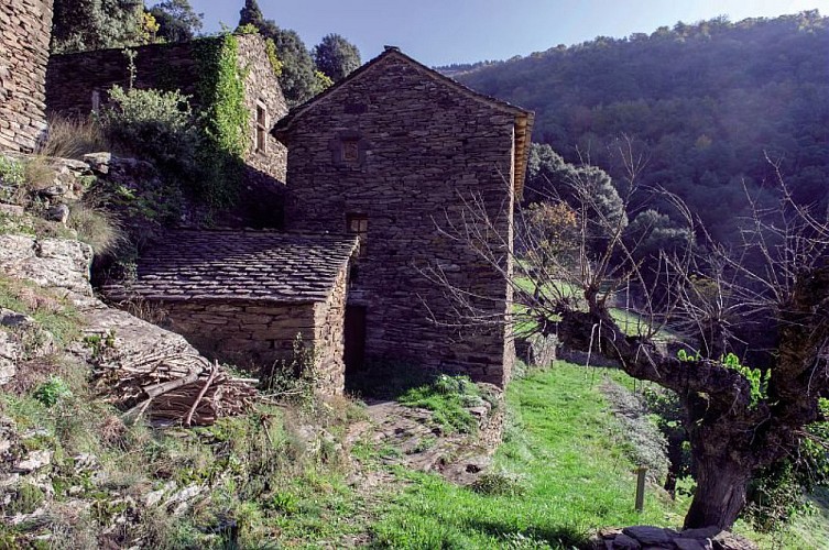
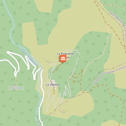
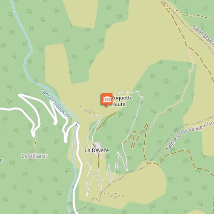
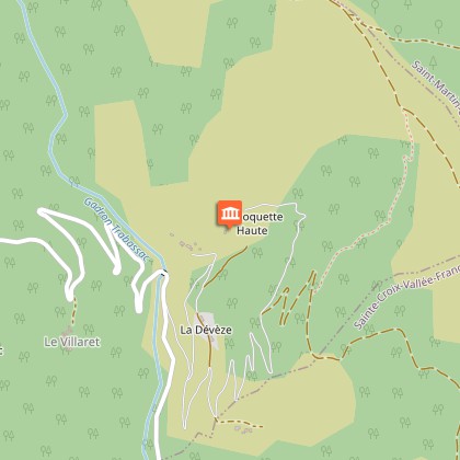
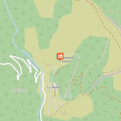
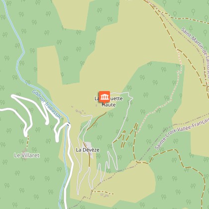
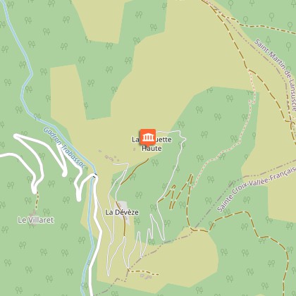
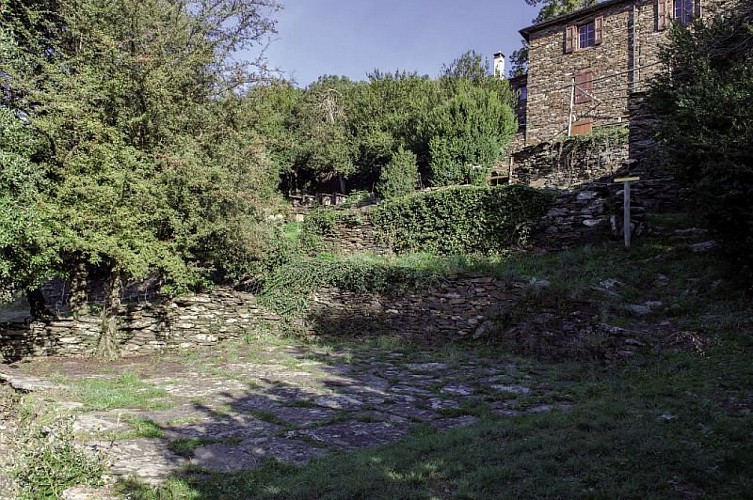
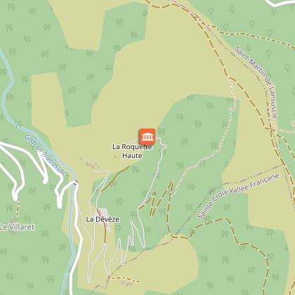
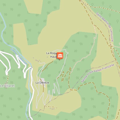
Mas Cévenol de la Roquette
Description
This path nestling on the floor of a charmingly preserved valley is ideal for imagining past life in the Cévennes and gaining a better understanding of life here today.
Some clarifications:• At the car park, walk along the lane for 300 m to the first Marker• After Marker 2, take the path on the left (narrow, can be slippery when wet)• Between Markers 15 and 16, the path is narrow• After Marker 18, take the lane to return to the car park.
Technical Information
Altimetric profile
Starting point
Points of interest


Additional information
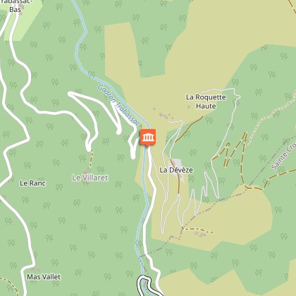
Departure
Car park
Arrival
Car park
Ambiance
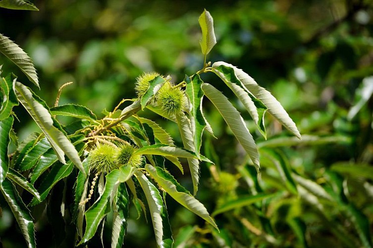
This walk allows you to explore a little valley off the beaten track, which evokes the special atmosphere of the Upper Cévennes valleys located on the Mediterranean side of the watershed. In the shade of holm oak and sweet chestnut, this path goes uphill from a mill to a complex of dwellings midway up the slope, in the cool air of a gully. The walk enables you to understand how the Cévenols managed and increased the value of their environment. From the art of construction to hydraulic arrangements, all the components of the traditional organisation of space are evoked on a preserved site.
Access
D 983 to Pont-Ravagers (12 km from Barre-des-Cévennes and 2 km from Sainte-Croix-Vallée-Française). At Pont-Ravagers, take the lane that leads to Trabassac hamlet (signposted narrow and winding road). About 10 minutes by car from Pont-Ravagers .
Advised parking
Path car park on the lane leading from Pont-Ravagers to Trabassac
Advice
In summer, it is best to do this walk in the morning. Some sections are slippery when wet. The path crosses several private properties. Do not leave the waymarked path. Its continued availability to the public depends on you being discreet. Horse-riding or mountain-biking are not allowed on or adapted to discovery trails.
Is in the midst of the park
The national park is an unrestricted natural area but subjected to regulations which must be known by all visitors.
Data author
