Alert
Alerts
The Roof of the Cévennes (by mountain-bike)


Description
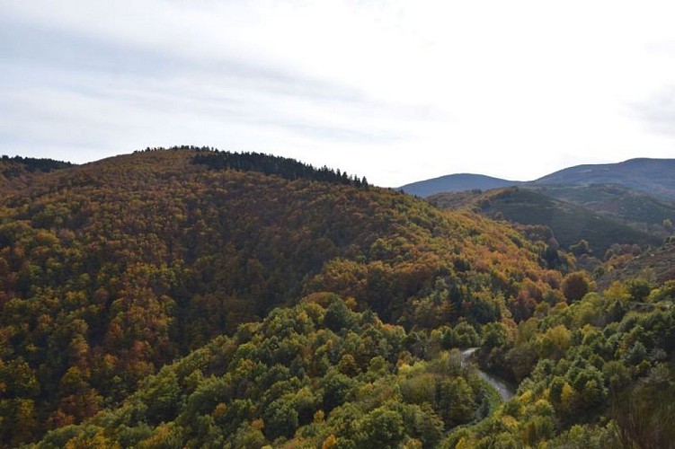
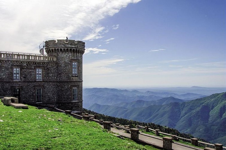
At the Col de Salidès, there are 360° panoramic views of Mont Aigoual, the Cévennes and the Causses!
Mountain-bike route #14. From the village, take the D 907 for 4 km towards the Tunnel du Marquairès. Before the tunnel, fork right towards Le Marquairès forester's house and continue on the forestry track to Gaseiral. Take the road uphill to the Col de Salidès and there take the ridge track on your left to L'Hospitalet (GR 7). After about 3 km, take the track on the left that leads back to Rousses.
Technical Information
Altimetric profile
Starting point
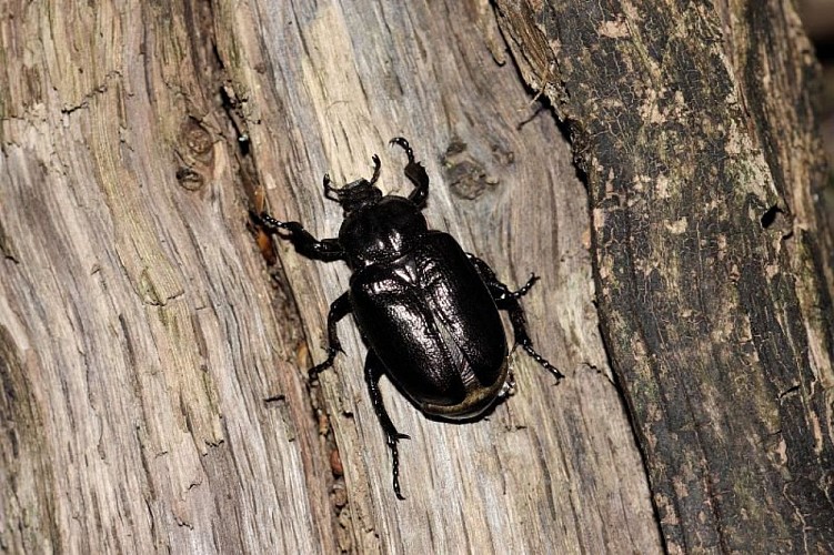
Points of interest
Additional information
Departure
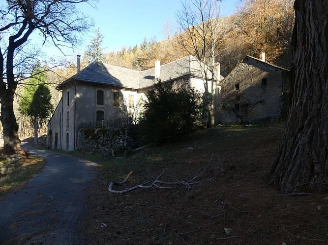
Rousses
Arrival
Rousses
Ambiance
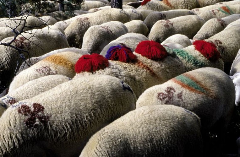
The Tarnon valley is shaded by the old beech groves of Le Marquairès state forest. At the Col de Salidès, views open up onto the characteristic landscapes of the National Park. In the distance, flocks of sheep still graze on the limestone plateau of the Can de l'Hospitalet sitting on its schist platform.
Access
From Florac or Meyrueis, take the D 996 to Vébron. In Vébron, take the D 907 to get to Rousses
Advised parking
Car park close to the Café "La Ruche"
Advice
No cycling off-track. You are strongly advised to wear a helmet. Do not forget your repair kit and a small set of tools. Please shut all gates and barriers after yourself. Slow down in farms and hamlets.
Is in the midst of the park
The national park is an unrestricted natural area but subjected to regulations which must be known by all visitors.
Data author
