Alert
Alerts
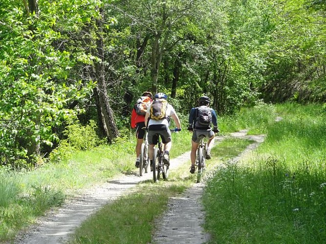
The Corniche des Cévennes (by mountain-bike)


Description
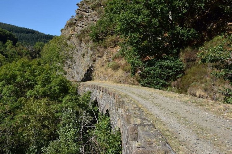
This circuit takes you from the Can (limestone plateau) through the Mimente valley and onto the disused railway track, leting you discover the landscapes of the Cévenol valleys.
Mountain-bike route #8. From the Col du Rey, go downhill to and through Barre-des-Cévennes to get onto the GR72 via the four crossroads. Cycle to the Espace Stevenson. From there, take the disused railway track alongside the river Mimente towards Florac as far as Saint-Julien-d'Arpaon (Stevenson Trail, GR70). Go uphill in the Briançon valley to Bouars and then Ferrières. Once on the Can, take the road leading to the Col du Rey for 2 km.
Technical Information
Altimetric profile
Starting point
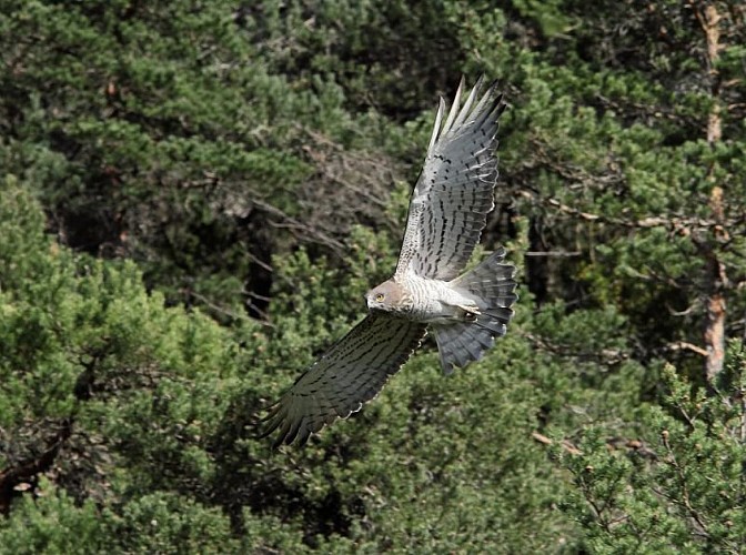
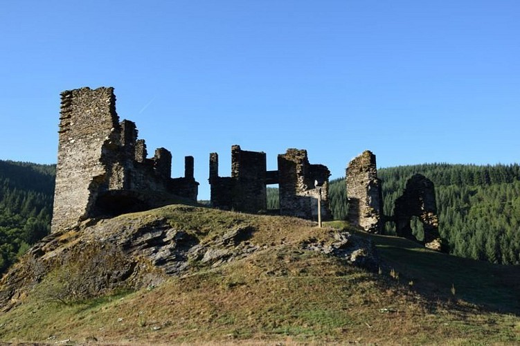
Points of interest
Additional information
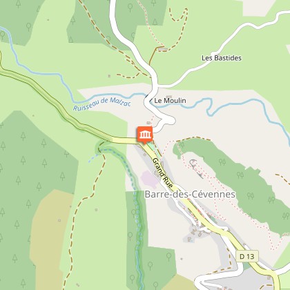
Departure
Col du Rey
Arrival
Col du Rey
Access
From Florac, drive towards the Corniche des Cévennes. Park at the Col du Rey, at the intersection of the D 983 and D 9
Advised parking
Col du Rey
Advice
No cycling off-track. Tracks and paths are stony and at times steep. You are strongly advised to wear a helmet. Do not forget your repair kit and a small set of tools. Shut all gates and barriers behind yourself. Carry water.
Is in the midst of the park
The national park is an unrestricted natural area but subjected to regulations which must be known by all visitors.
Data author
