Alert
Alerts
Canayère


Description
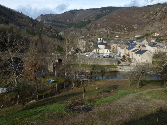
A very diverse hike through beautiful and changing forests, with rocky stretches and views over the gorges, the river Dourbie, Mont Lingas and Mont St-Guiral. You won't get bored!
From the carpark, cross the river Trévezel. Turn left onto a tarred lane, cross a second small bridge, walk for 150 m, and turn right onto a path (signpost for Canayère). By the statue, turn left onto a steep path that leads you among box trees and then through a pine forest to reach a forestry track (turn left towards Canayère). Take this track to get to the forester's house at Canayère. Go past the front of the house, cross the meadow and take the path downhill to reach St-Firmin cave. Continue on this path to get to the intersection with the ONF path way-marked in green (short detour to a viewpoint indicator). Go down to Le Villaret (at the foot of the cliffs is Joulié cave, closed to the public). In Le Villaret, turn right and take the road downhill to return to Trèves.
Technical Information
Altimetric profile
Starting point
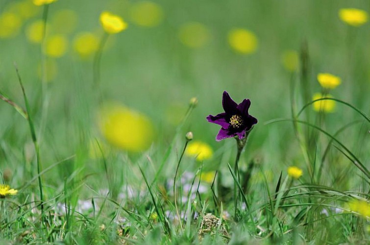
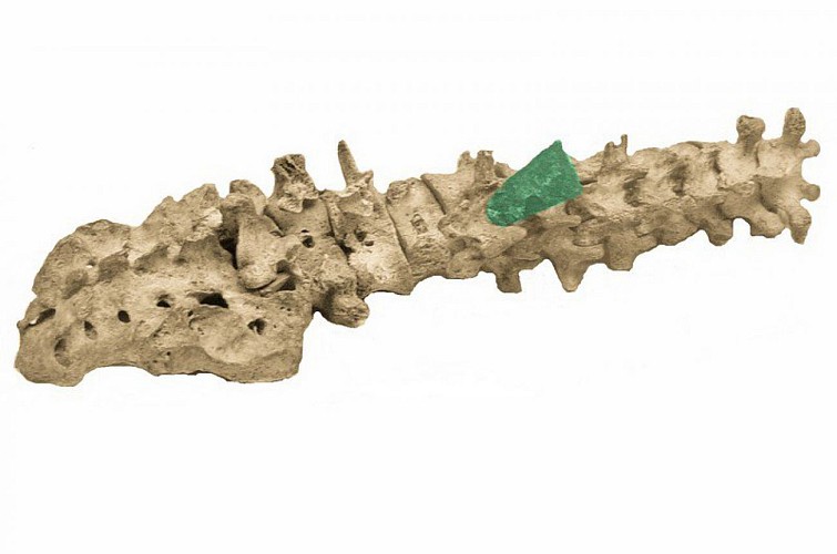
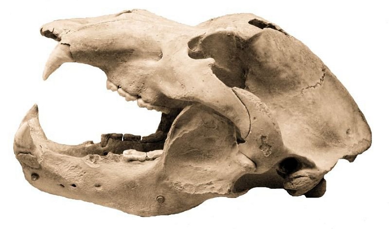
Points of interest
Additional information
Departure
Trèves
Arrival
Trèves
Access
From Camprieu, take the D 157 to Trèves
Advised parking
On the church square
Public transport
liO est le Service Public Occitanie Transports de la Région Occitanie/Pyrénées-Méditerranée. Il permet à chacun de se déplacer facilement en privilégiant les transports en commun. lio.laregion.fr
Advice
Make sure your equipment is appropriate for the day's weather conditions. Remember that the weather changes quickly in the mountains. Take enough water, wear good shoes and put on a hat. Please close all gates and barriers after yourself.
Data author
