Alert
Alerts
Type of practice
Walking
Easy
Presentation
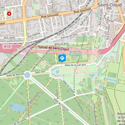
Map
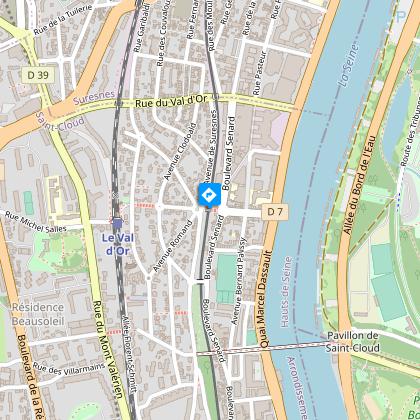
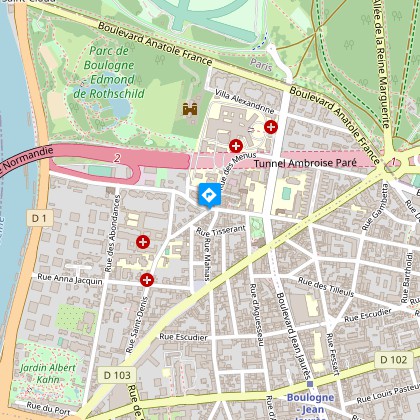
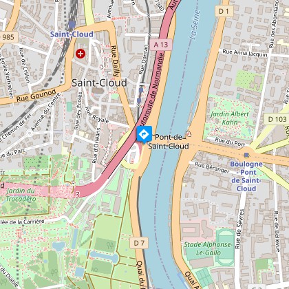
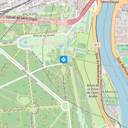
Steps
Points of interest
Cirkwi brief's
Ratings and reviews
See around
From the Hills of Saint-Cloud to the Milons Station

Credit : Crédit : Parc de Saint-Cloud : Le parterre des vingt-quatre jets - François Marsy
The Cirkwi brief
Discover Scenic Saint-Cloud: A Leisurely Journey
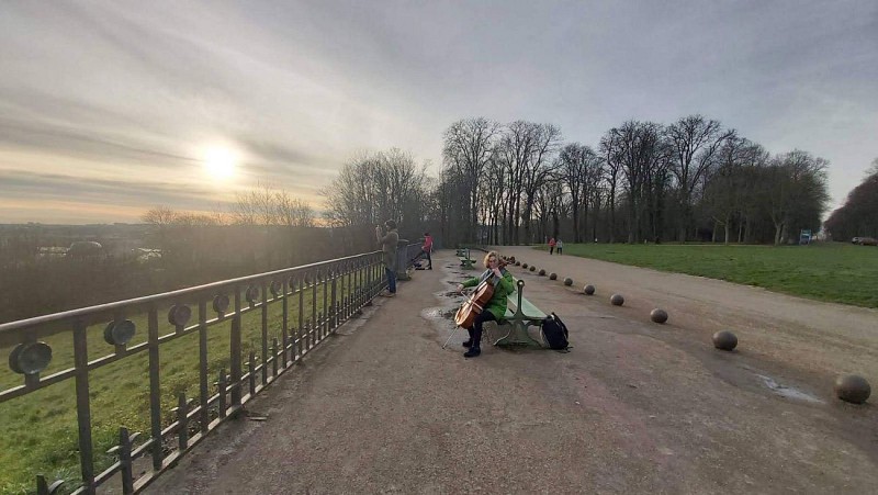
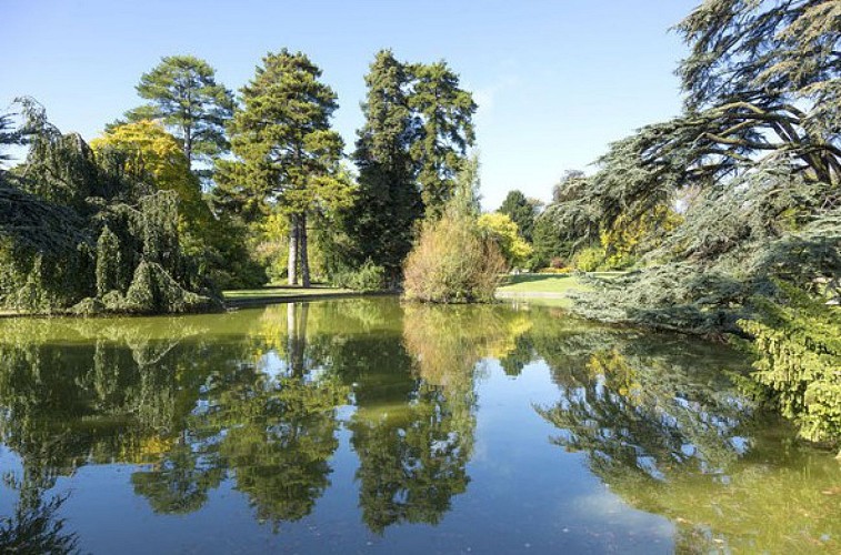
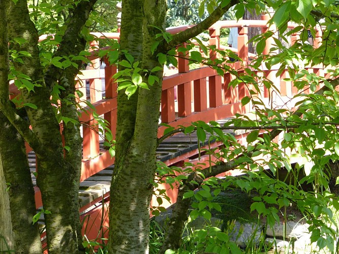
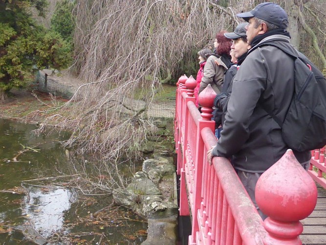
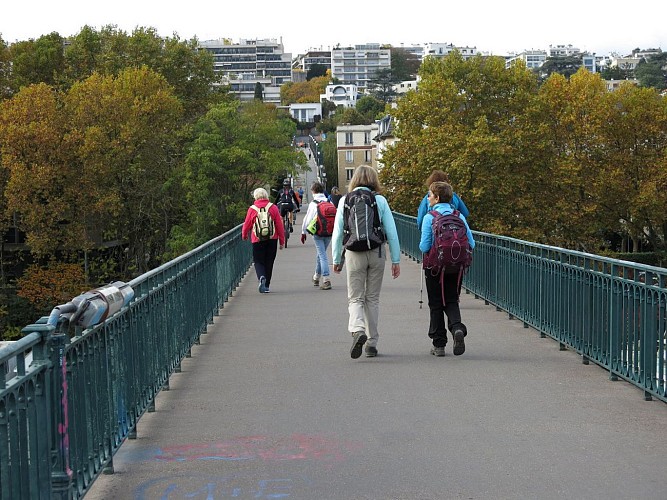
Imagine setting off on a leisurely journey crafted by BERGERFRANC, merging the serenity of nature with captivating historical insights. This unique trail takes you from the rolling hills of Coteaux de Saint-Cloud, offering breathtaking views of Boulogne and Paris, down to the tranquil paths leading to the station des Milons. Along the way, immerse yourself in the lush landscapes of the park of Saint-Cloud, get a glimpse of history at the Rond de la Balustrade, also known as "La Lanterne", and let the architectural grace of the area's bridges and gardens inspire your steps. This route isn't just a walk; it's an experience designed to delight the senses and deepen your connection with the locale's rich heritage and serene nature.
Path Details: A Technical Overview
This route extends over a manageable distance of approximately 9.99 km. It begins at an altitude of 29 meters, climbing to a maximum of 100 meters, thereby ensuring a cumulative positive elevation gain between 131 to 135 meters. Such an elevation profile suggests a route that is manageable for most, offering a blend of gentle ascents and scenic flat stretches. Whether you're pacing yourself for endurance or seeking a leisurely stroll, this tailored journey invites you to engage with the landscape at a depth only possible on foot.
Seasonal Tips for Travelers
As a local tour guide, I recommend experiencing this route during spring or fall to make the most of the mild weather and the natural beauty of the region. During these seasons, the weather is comfortable for walking, and you'll find the path less crowded. Always check the weather before heading out and remember to carry water, sunscreen, and a hat during warmer days. In winter, the path can be slippery, so proper footwear is vital. Most importantly, respect the environment around you to keep this scenic walk enjoyable for everyone.
The Heart of Saint-Cloud's History
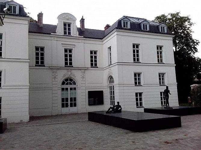
This trail takes you through Saint-Cloud, a territory rich in history and natural beauty, nestled in the Île-de-France region. Saint-Cloud's past vibrates with tales of royalty and revolutionary moments. Notably, the "La Lanterne" site embodies the area’s historical profundity, marking where Napoleon made his presence known to Parisians with a lit lantern. The walk through this landscape is a journey back in time, where every step brings you closer to understanding the cultural and historical significance of this enchanting French locale.
Regional Weather Insights
Understanding Saint-Cloud's Climate
Saint-Cloud, situated in the Île-de-France, enjoys a temperate oceanic climate. Winters are cool but not harsh, averaging temperatures around 3°C, while summers are pleasantly warm, with averages near 20°C. Rainfall is distributed throughout the year, with October to December being slightly wetter months. For the most enjoyable walking conditions, late spring to early fall (May through September) offers the ideal balance of comfortable temperatures and manageable precipitation. This period accentuates the natural beauty and historical allure of the Saint-Cloud route, making it the perfect time for your visit.
Imagine setting off on a leisurely journey crafted by BERGERFRANC, merging the serenity of nature with captivating historical insights. This unique trail takes you from the rolling hills of Coteaux de Saint-Cloud, offering breathtaking views of Boulogne and Paris, down to the tranquil paths leading to the station des Milons. Along the way, immerse yourself in the lush landscapes of the park of Saint-Cloud, get a glimpse of history at the Rond de la Balustrade, also known as "La Lanterne", and let the architectural grace of the area's bridges and gardens inspire your steps. This route isn't just a walk; it's an experience designed to delight the senses and deepen your connection with the locale's rich heritage and serene nature.
Path Details: A Technical Overview
This route extends over a manageable distance of approximately 9.99 km. It begins at an altitude of 29 meters, climbing to a maximum of 100 meters, thereby ensuring a cumulative positive elevation gain between 131 to 135 meters. Such an elevation profile suggests a route that is manageable for most, offering a blend of gentle ascents and scenic flat stretches. Whether you're pacing yourself for endurance or seeking a leisurely stroll, this tailored journey invites you to engage with the landscape at a depth only possible on foot.
Seasonal Tips for Travelers
As a local tour guide, I recommend experiencing this route during spring or fall to make the most of the mild weather and the natural beauty of the region. During these seasons, the weather is comfortable for walking, and you'll find the path less crowded. Always check the weather before heading out and remember to carry water, sunscreen, and a hat during warmer days. In winter, the path can be slippery, so proper footwear is vital. Most importantly, respect the environment around you to keep this scenic walk enjoyable for everyone.
The Heart of Saint-Cloud's History
This trail takes you through Saint-Cloud, a territory rich in history and natural beauty, nestled in the Île-de-France region. Saint-Cloud's past vibrates with tales of royalty and revolutionary moments. Notably, the "La Lanterne" site embodies the area’s historical profundity, marking where Napoleon made his presence known to Parisians with a lit lantern. The walk through this landscape is a journey back in time, where every step brings you closer to understanding the cultural and historical significance of this enchanting French locale.
Regional Weather Insights
Understanding Saint-Cloud's Climate
Saint-Cloud, situated in the Île-de-France, enjoys a temperate oceanic climate. Winters are cool but not harsh, averaging temperatures around 3°C, while summers are pleasantly warm, with averages near 20°C. Rainfall is distributed throughout the year, with October to December being slightly wetter months. For the most enjoyable walking conditions, late spring to early fall (May through September) offers the ideal balance of comfortable temperatures and manageable precipitation. This period accentuates the natural beauty and historical allure of the Saint-Cloud route, making it the perfect time for your visit.
Automatically generated.
Technical Information
Walking
Difficulty
Easy
Dist.
10 km
Type of practice
Walking
Easy
Show more
Altimetric profile
Starting point
92210
Saint-Cloud
Lat : 48.85678Lng : 2.22051
Steps
Points of interest

Data author

proposed by
BERGERFRANC
24 RUE PIERRE VIROL 92700 COLOMBES France
Ratings and reviews
To see around