Alert
Alerts
42 - LAC D'ESPINGO
Description
You'll be rewarded for your efforts as soon as you reach the Col d'Espingo. Follow in the footsteps of hikers on the GR10, the legendary trail that crosses the Pyrenees from east to west. From Lac d'Oô, the GR10 then heads towards Hourquette des Hounts secs, Coume de Bourg and Superbagnères.
The refuge, built in 1925, is sure to satisfy hunger and thirst!
Start just after the restaurants on a wide track through the forest, pass the roche souffrée and follow the path up to Lac d'Oô and the guarded refuge. Follow the GR10 or n°42 signs to the Col d'Espingo, then continue straight on to reach the Lac d'Espingo and its guarded refuge.
Please note: no swimming in mountain lakes.
Technical Information
Altimetric profile
Starting point
Steps
Points of interest

Additional information
Detailed stages
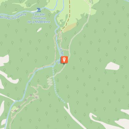
1 - The trail starts at the Astau barns. The track is wide, with a gentle, steady slope and mostly wooded.
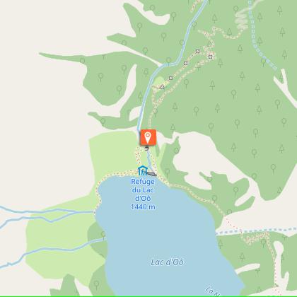
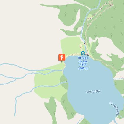
2 - After a few minutes' walk, look out for the "souffrée" rock on your left. Further on, the track straightens out a little and twists upwards. As you leave the forest, you will see a small stone bridge, the Lac d'Oô dam (1439m) and the eponymous refuge on the right.
3 - Continue straight ahead. The path overlooks Lac d'Oô. On the way up, you come across two small waterfalls, which in hot weather are ideal for a cool break.
4 - The path continues to climb and you pass a flat rock with a splendid view of the waterfall over Lac d'Oô.
5 - Continue along this path, leaving the path to Superbagnères on your left. A few minutes later you reach the Col d'Espingo (1967m). The refuge is on your right and the lake just below.
6 - The return journey follows the same route.
Dates
From 2026-04-15T00:00:00 From 2026-11-15T00:00:00
Signage
White and red or n°42
Elevation gain
850 (High)
Contact
Tel : 05 61 79 21 21
Email : info@pyrenees31.com
Website : www.pyrenees31.com
Start and end town
OÔ
Data producer
Contact : HAUTE-GARONNE TOURISME / OFFICE DE TOURISME PYRENEES 31
Phone : 05 61 79 21 21
This information comes from the Haute-Garonne Departmental Tourism Network and is synchronized as part of the partnership between Cirkwi and Haute-Garonne Tourisme.
Data author
