Alert
Alerts
Type of practice
Walking
Medium
Presentation
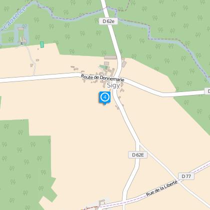
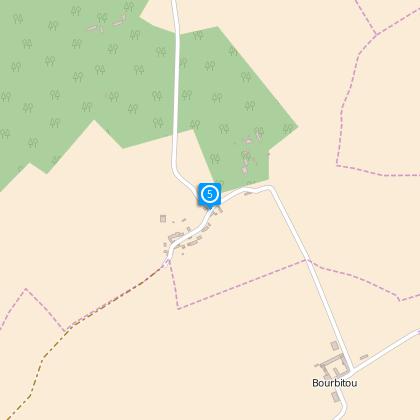
Map
Steps
Cirkwi brief's
Ratings and reviews
See around
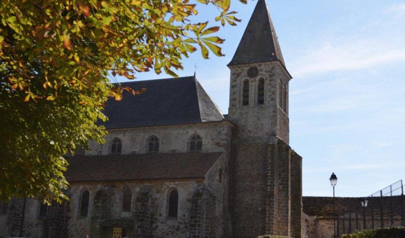
The forest of Sigy

Credit : ©Si de Donnemarie
The Cirkwi brief
Explore Hidden Gems of Montois: A Trekker's Delight
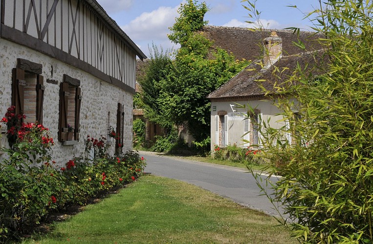
Embark on an enchanting journey proposed by the Communauté de communes Bassée-Montois, leading you through the serenity and quaint beauty of the Montois region. Meander through nineteen breathtakingly picturesque villages, their slate-roofed houses huddling around ancient churches. The Sigy woods, with their rich tapestry of flora and fauna, offer more than just a walk; they envelop you in a world where hares and deer fleet past in their natural habitat. This trek is not just a physical journey, but a dive into the heart of tranquility and untouched natural marvels.
Technical Insight: A Trekker's Analysis
This idyllic journey stretches over 14.97 kilometers, with an altitude range between 62 and 132 meters. Trekkers face a cumulative positive elevation gain of 706 meters, indicating some sections with considerable uphill efforts. The path weaves through varying terrains, suggesting that participants should come prepared for both climbs and descents. Given the technical aspects, this trek offers a moderate challenge suitable for enthusiasts seeking both fitness and serene commune with nature.
Seasonal Tips and Safety Guidelines
Regardless of the season, the Montois region offers unique vistas and experiences. In spring, the rejuvenation of nature transforms the trail, making it ideal for witnessing the blooming flora. Summers reveal a lush landscape, but hydration is key due to warmer temperatures. Autumn adorns the pathway with a mosaic of colors, whereas, during winter, snow adds a magical touch, demanding caution for icy patches. Always inform someone of your trekking plans and carry a map, water, and a first-aid kit.
Historical Essence of Montois
The Montois territory, settled within the broader Île-de-France region, is steeped in a rich tapestry of history and culture. Borders have witnessed the passage of myriad conquerors, each leaving an imprint that contributes to the area's unique heritage. Donnemarie-Dontilly, the starting point, is a testament to historical resilience, hosting structures that date back centuries. The historic essence of this journey is not just in the sites but in the enduring spirit of the communities that have thrived here.
Climate Insights: Best Time to Visit
The climate in Montois is predominantly temperate, marking distinct seasonal changes. Summer (June-August) is warm, making it the peak season for trails, while spring (March-May) and autumn (September-November) offer mild and pleasing temperatures, ideal for those seeking tranquility away from crowds. Winter (December-February) can be cold, with occasional snow, adding a picturesque allure to the landscape but requiring preparation for the chill. To fully enjoy the trek, mid-spring to late-autumn is recommended, leveraging the comfortable climate and the natural beauty at its peak.
Automatically generated.
Technical Information
Walking
Difficulty
Medium
Dist.
15 km
Type of practice
Walking
Medium
Show more
Altimetric profile
Starting point
10
Rue des Écoles
,
77520
Donnemarie-Dontilly
Lat : 48.47595Lng : 3.12819
Steps
Data author

Ratings and reviews
To see around