Alert
Alerts
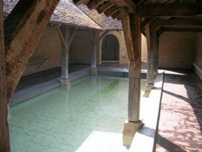
In the heart of Montois

The Cirkwi brief
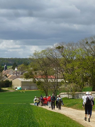
Embarking on a journey across the Montois territory in Ile-de-France offers more than just a stroll; it's an immersive rural experience courtesy of the Bassée-Montois community. This itinerary unwraps the serene beauty of countryside France, showcasing a rich tapestry of fields, forests, and a diverse range of flora and fauna. Beyond nature's allure, the path is dotted with historical and religious sites, promising a fulfilling adventure. Crafted for those who appreciate the tranquility of rural landscapes and the intrigue of cultural heritage, this route is a testament to the region's pride in its pastoral essence.
Essential Itinerary Insights
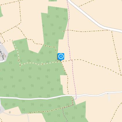
The journey spans approximately 16.6 kilometers, characterized by an elevation range between 66 and 152 meters which brings a total positive elevation of 367 meters to tackle. The itinerary, meticulously curated by the community of Bassée-Montois, navigates through varying terrains, offering both a physical challenge and a unique way to explore the southeastern Seine-et-Marne. Given the route's specifications, walkers can anticipate a moderately demanding trek, ideally traversed at a leisurely pace to fully appreciate the scenic and cultural richness of the Montois region.
Seasonal Tips for Travelers
For an optimal experience along this rustic Montois path, packing essentials according to the season is key. Spring offers verdant landscapes and mild temperatures perfect for walking, while summer calls for sun protection and ample hydration. Autumn transforms the route with vibrant foliage, though paths may be slippery with fallen leaves. Winter, cloaked in serenity, requires warm attire and possibly snow gear. Regardless of the season, sturdy footwear is a must for navigating the diverse terrains encountered, ensuring safety and comfort throughout your journey.
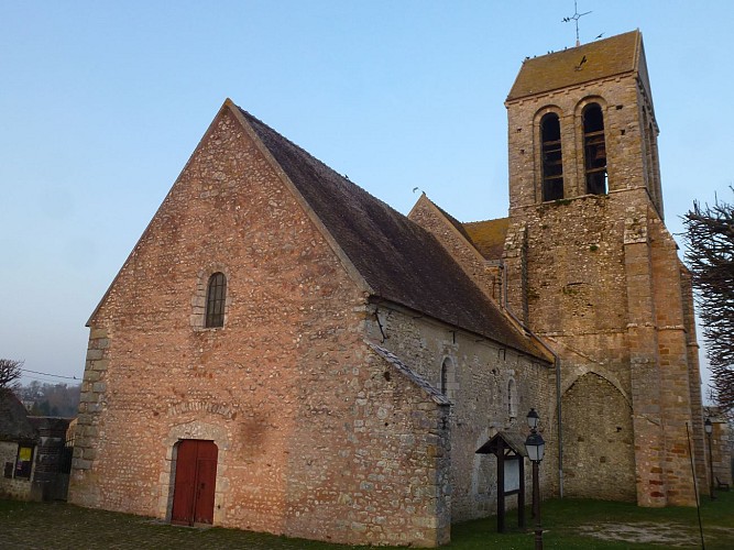
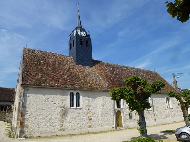
Heart of Ile-de-France's Countryside
Steeped in history, the Montois territory within Seine-et-Marne embodies the rustic soul of Ile-de-France. Far from being just a rural backdrop, this area is a living museum of France's past, from ancient woodlands to architectural marvels that span centuries. Each village along the route tells its own story, contributing to the region's rich cultural tapestry. The area is not only a natural oasis but also a bastion of French heritage, reflecting the evolution of rural France from medieval times to the present day.
Climate Overview for Explorers
The general climate in Seine-et-Marne's Montois region can be described as temperate, with distinct seasonal shifts that influence the best times for visits. Warm, sunny summers offer extended daylight for exploring, making it a popular period for outdoor enthusiasts. However, spring and autumn provide a more tranquil atmosphere with moderate temperatures, ideal for those seeking to appreciate the changes in flora and ambience. Winter tends to be cool, sometimes with snow, offering a unique, though more challenging, beauty. Each season presents a different facet of Montois, promising memorable experiences year-round.