To see around
See more
Open
Close
Show
Show
Show
Show
Show
Show
Show
Show
Show
Show
Show

Oups... It would appear that Cirkwi does not have permission to use your location.

Description
Map
Steps
Cirkwi brief's
Ratings and reviews
See around

The 11x20+14

The 11x20+14
Credit : ©ccbm

The Cirkwi brief

Explore the Scenic Trails of Mons-en-Montois

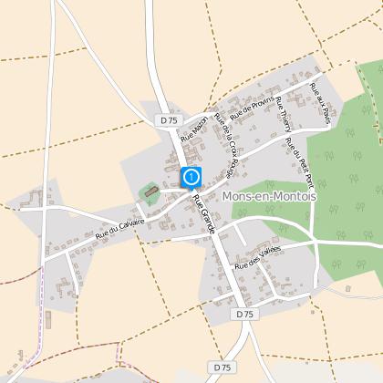
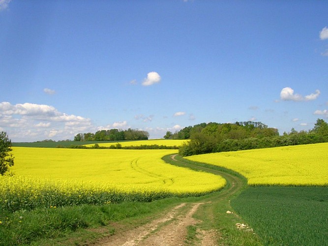
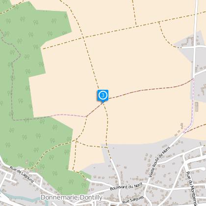
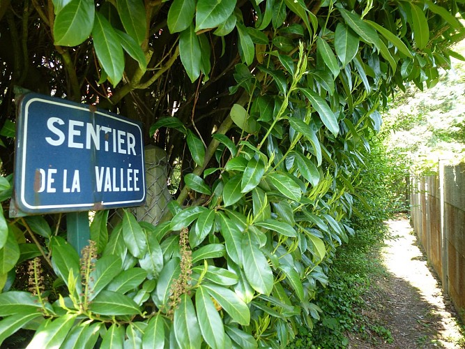
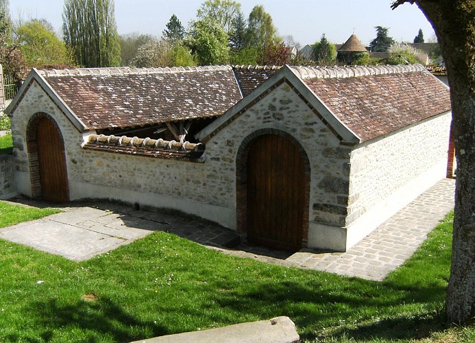
Embark on a journey along the pathways that start at the historic Church St Fiacre in Mons-en-Montois, where an annual tradition sees gardeners honor their patron saint with an offering of fruits and vegetables. Wander through the captivating Cave Path, offering a panoramic view of the village with its dual churches. Discover Cessoy-en-Montois's St Laurent Church and the charming weekend-open washhouse. Ascend the hills to behold the Bassée-Montois countryside stretching all the way to the Seine. Brought to you by the Bassée-Montois community, this route promises a memorable blend of nature, culture, and tranquility.


Detailed Route Analysis

This 14.6 km trek, crafted by the Bassée-Montois community, presents a modest challenge with its 327 meters of positive elevation change. The journey's altitude fluctuates between 86 and 145 meters above sea level, ensuring a manageable but engaging walking experience. The route effectively marries scenic beauty with physical demand, making it a perfect fit for walkers looking for a day adventure with moderate intensity. The technical aspects, although not intimidating, provide enough variation to keep the experience interesting.


Seasonal Tips for Travelers

For an optimal experience, embark on this journey during spring or early autumn. These seasons offer mild weather, allowing for comfortable walking conditions and the chance to witness the lush or changing landscapes. Ensure to wear sturdy footwear regardless of the season, as the paths may have uneven terrain. Carrying water is essential, especially in summer. Stay mindful of local wildlife and respect private property signs. In winter, the pathways could be slippery; therefore, check the weather forecast before setting out.


Historical Significance of the Area

Mons-en-Montois, nestled within the broader Seine-et-Marne department, boasts a rich history that spans several centuries. The Church of St Fiacre stands as a testament to the enduring spiritual and cultural practices that have shaped this community. Along the itinerary, the evolving landscape narrates the tale of agricultural and rural development in France. The Bassée-Montois region, with its panoramic countryside views reaching the Seine, offers not just natural beauty but a glimpse into the agricultural backbone of France, making it a significant cultural and historical locale.


Weather Insights and Best Visits

The region around Mons-en-Montois features a temperate climate, with mild summers and cool winters. Rainfall is distributed evenly throughout the year, making any season suitable for visiting. However, to truly enjoy the scenic vistas and comfortable trekking conditions, aim for spring (April to June) or early autumn (September to October). These periods typically experience pleasant temperatures and reduced precipitation, offering the optimal setting for outdoor excursions.

Automatically generated.

Technical informations

This circuit was updated on: 23/02/2024
15 km
max. 146 m
min. 86 m
155 m

Accessibility

Styles : HikingBaladeIn the country
Public : FamilyOccasional hikersExperienced hikers

Altimetric profile

Starting point

24 Rue Grande , 77520 Mons-en-Montois
Lat : 48.48865Lng : 3.14659

Steps

image du object
1

Départ

Remonter la rue de l’église puis prendre la sente à gauche et la rue à droite. Continuer dans la rue du Calvaire (à gauche) sur 250 m puis prendre à gauche la rue du Clos Bouard. Arriver au bout, tourner à droite pour rejoindre la route et la descendre jusqu'à Donnemarie-Dontilly.

27 Rue Grande 77520 Mons-en-montois
- Communauté de communes Bassée-Montois -
Consulter
image du object
2

Poursuivre rue Salgues, la 2ème rue à droite. Remonter la rue de la Maladrerie, sur la droite et continuer ensuite sur la gauche, boulevard du Nord. Prendre aussitôt à droite, le chemin des Grottes et rester sur ce chemin.

7 Vieille Route de Mons 77520 Donnemarie-dontilly
- Communauté de communes Bassée-Montois -
Consulter
image du object
3

Sur le plateau, à la 3ème intersection, tourner sur votre gauche. A la fin du chemin tourner à nouveau à gauche. Entrer dans le bois puis prendre la première à droite. Entrer dans un autre bois et en sortant, prendre à droite et longer la lisière jusqu'à la route.

12 Chemin Maladrerie 77520 Donnemarie-dontilly
- Communauté de communes Bassée-Montois -
Consulter
image du object
4

Arriver à la route, prendre à droite. Après le bois, bifurquer à gauche sur le chemin empierré, poursuivre jusqu’à la mare. Emprunter la route à droite jusqu’au Petit-Cessoy. Au carrefour, tourner à gauche puis virer à droite sur le Sentier de la Vallée pour retrouver la route. La descendre à gauche puis, avant la fontaine, remonter la sente à droite.

Unnamed Road 77520 Mons-en-montois
- Communauté de communes Bassée-Montois -
Consulter
image du object
5

Au sommet, prendre à gauche, traverser la D75 et continuer en face. A la fourche, prendre à gauche. Arriver à Cessoy-en-Montois, prendre en face la rue de l’église puis la rue de la Mairie à droite et la rue de la Vallée sur 20 m, à droite. Continuer à gauche par la rue aux Chevaux, jusqu’en bas.

19 Route de Donnemarie 77520 Mons-en-montois
- Communauté de communes Bassée-Montois -
Consulter
image du object
6

A la sortie du village, descendre à droite le long du lavoir. Au bout de 150 m, continuer à droite, passer un ru, jusqu’à la route (D62) et la prendre à gauche. 1km plus loin, en haut de la colline, prendre le chemin de droite qui longe des pâtures. Poursuivre à la 1ère à gauche puis à nouveau à gauche jusqu’au bois. Continuer tout droit en lisière puis en sous-bois. Tourner à droite puis à gauche.

18 Rue aux Chevaux 77520 Cessoy-en-montois
- Communauté de communes Bassée-Montois -
Consulter
image du object
7

En sortant du bois descendre à droite, emprunter la route à gauche sur quelques mètres puis remonter dans le bois à droite. Après le bois poursuivre tout droit jusqu’à la route. Descendre à droite et, au carrefour, prendre la 2ème route à gauche puis la sente à droite. A la rue, retrouver la mairie de Mons-en-Montois sur votre gauche.

Unnamed Road 77520 Mons-en-montois
- Communauté de communes Bassée-Montois -
Consulter

Ratings and reviews

To see around
See more
Open
Close
Show
Show
Show
Show
Show
Show
Show
Show
Show
Show
Show