Alert
Alerts
Type of practice
Racing biking
Hard
Cycling
Hard
Presentation
Description
Map
Points of interest
Ratings and reviews
See around
Col d'Aubisque, la référence


IGN cards

1547OTR - OSSAU VALLÉE D'ASPE RESISTANTE PN DES PYRÉNÉES
Editor : IGN
Collection : TOP 25 RÉSISTANTE
Scale : 1:25 000
17.20€

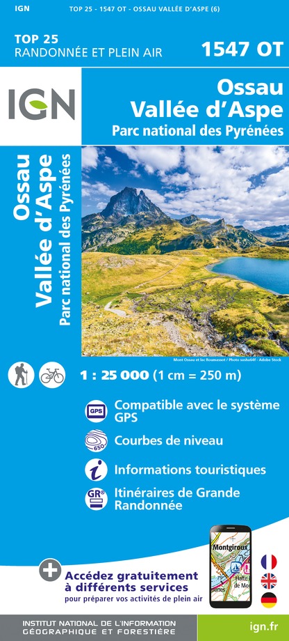
1547OT - OSSAU VALLÉE D'ASPE PN DES PYRÉNÉES
Editor : IGN
Collection : TOP 25 ET SÉRIE BLEUE
Scale : 1:25 000
13.90€

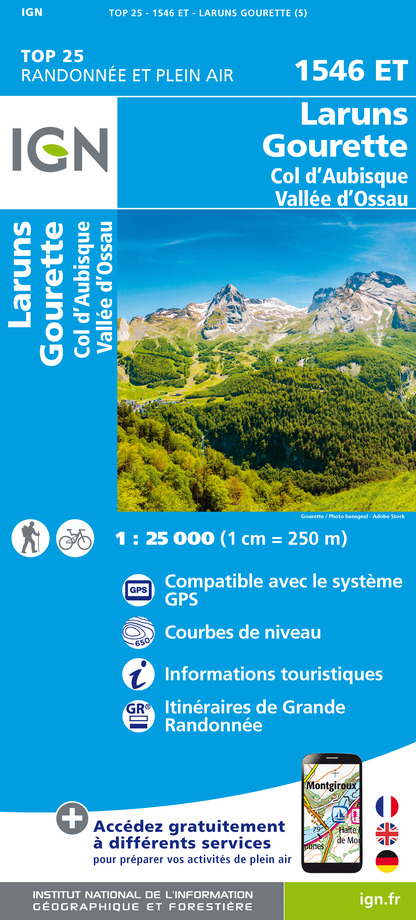
1546ET - LARUNS GOURETTE COL D'AUBISQUE - VALLEE D'OSSAU
Editor : IGN
Collection : TOP 25 ET SÉRIE BLEUE
Scale : 1:25 000
13.90€

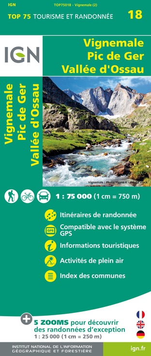
TOP75018 - VIGNEMALE PIC DE GER VALLEE D'OSSAU
Editor : IGN
Collection : TOP 75
Scale : 1:75 000
9.80€

TOP100D65 - HAUTES-PYRÉNÉES TARBES LOURDES GAVARNIE NÉOUVIELLE PARC NATIONAL DES PYRÉNÉES
Editor : IGN
Collection : TOP 100
Scale : 1:100 000
8.40€

TOP100D64 - PYRÉNÉES-ATLANTIQUES PAU BAYONNE BIARRITZ PAYS BASQUE BÉARN
Editor : IGN
Collection : TOP 100
Scale : 1:100 000
8.40€

89030 - TRAVERSEE DES PYRENEES GR10®
Editor : IGN
Collection : DECOUVERTE DES CHEMINS
Scale : 1:100 000
9.10€

D64 PYRÉNÉES-ATLANTIQUES
Editor : IGN
Collection : CARTES DÉPARTEMENTALES IGN
Scale : 1:150 000
5.90€

NR10 NOUVELLE-AQUITAINE RECTO /VERSO LIMOUSIN POITOU
Editor : IGN
Collection : CARTES RÉGIONALES IGN
Scale : 1:250 000
6.80€

NR11 NOUVELLE-AQUITAINE RECTO/VERSO BASSIN AQUITAIN
Editor : IGN
Collection : CARTES RÉGIONALES IGN
Scale : 1:250 000
6.80€

EUROPE
Editor : IGN
Collection : DÉCOUVERTE DES PAYS DU MONDE IGN
Scale : 1:2 500 000
7.00€
Description
A great classic of the Tour, with a 4-5% gradient up to Eaux-Bonnes, then the serious slopes up to Gourette (often 8%) before the final high mountain scenery amidst the high meadows and at the foot of the high peaks of Ger and Médaa, with the last 4 km at a regular 9%.
Technical Information
Racing biking
Difficulty
Hard
Dist.
19 km
Type of practice
Racing biking
Hard
Cycling
Hard
Show more
Altimetric profile
Starting point
,
64440
LARUNS
Lat : 42.987644Lng : -0.426274
Points of interest
Additional information
Balisage
Yellow and red (GRP®)
double trait
Typologie de l'itinéraire
Cycle route
Thèmes
Natural
Data author

proposed by
OT Vallée d'Ossau Pyrénées
64440 France
Ratings and reviews
To see around


