Alert
Alerts
Type of practice
Racing biking
Hard
Cycling
Hard
Presentation
Description
Map
Steps
Points of interest
Ratings and reviews
See around
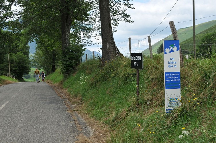
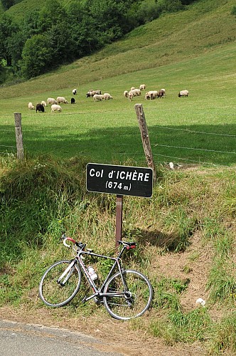
Col d'Ichère

Description
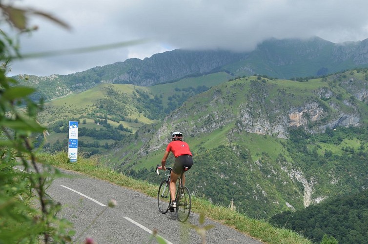
Just five kilometers of ascent for a low-altitude pass linking the Aspe and Lourdios valleys, but an interesting starter-main course-dessert menu. An appetizer at 5%, a hearty main course (3 km at almost 10%), and a sweet finish. The ideal pass for spring outings by "puncheurs" or for those who want to test their mountain climbing skills.
Technical Information
Racing biking
Difficulty
Hard
Dist.
7.2 km
Type of practice
Racing biking
Hard
Cycling
Hard
Show more
Altimetric profile
Starting point
64570
LOURDIOS-ICHERE
Lat : 43.051222Lng : -0.6016531
Steps
Points of interest


Additional information
Typologie de l'itinéraire
Return
Thèmes
Natural
Data author

proposed by
Communauté de Communes du Haut-Béarn
12 place Jaca 64400 Oloron-Sainte-Marie Cedex France
Ratings and reviews
To see around