Alert
Alerts
Les Clapotis du Solnan
Description
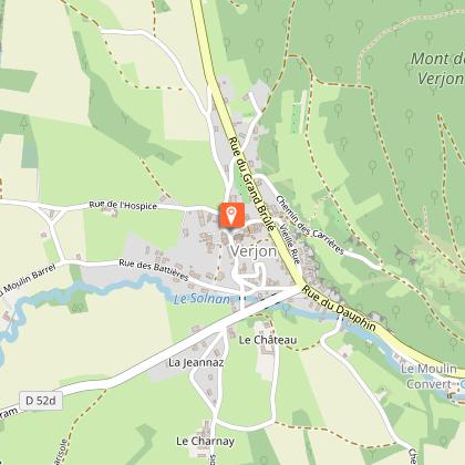
The Solnan, a river running through the Bresse region, originates in Verjon in a resurgence. A stroll around the village to walk along the paths to meet the river, the imposing castle, the church, the viewpoint of Notre Dame de la Paix.
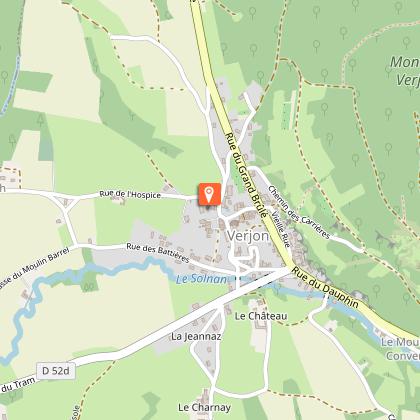
Start : Lavoir de Verjon / Easy
+ variant AR Mont Verjon (2,5 km)
River 61.8 km long before it flows into the Seille.
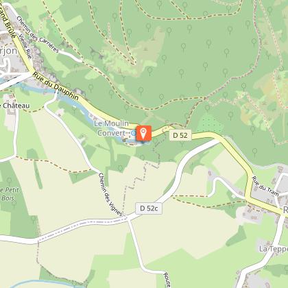
This spring of Vauclusian type, is a karstic emergence whose waters come from Val d'Epy (Jura). In rainy weather, it feeds a resurgence located in the rock and a cavity called "Le Dauphin". In case of exceptional rainfall, the Dauphin releases a magnificent waterfall on the side of the cliff.
"LE SOLNAN" takes its source in VERJON in a lovely green site. This particular spring, of the Vauclusian type, is a karstic emergence whose waters come from the Val d'Epy. In rainy weather, it feeds a resurgence located in the rock and a cavity called "Le Dauphin". In case of exceptional rainfall, the Dauphin releases a magnificent waterfall on the side of the cliff; a rare phenomenon that is a great attraction in the village.
In the past, the energy of the river fed a cardboard factory (transformed into a grain mill), a sawmill and four other mills. All of them have ceased their activity.
At the bottom of the village you can see the ECLUSE, the LAVOIR (1855), the PONT DE PIERRE VOUTE, the superb ROUE A AUBE which was used to bring the water up to the top of the village.
And don't forget to stroll through the narrow streets of this typically Revermont village with its stone cavet houses. Perched at the top of the village, the ST HIPPOLYTE CHURCH, registered as a Historic Monument, its chapel of the Lords (Renaissance style) restored to its original condition, its triptych and its stone Virgin.
On this path, a variant is proposed to the most courageous among you for a round trip to the MONT VERJON, the highest point of the commune at 498 m of altitude. Remarkable viewpoints on the Bresse plain and the Mâconnais.
Technical Information
Altimetric profile
Starting point
Points of interest
Additional information
Updated by
Bourg-en-Bresse Destinations - Office de tourisme - 27/05/2026
www.bourgenbressedestinations.fr
Report a problem
Open period
All year round.
Contact
Phone : 04 74 22 49 40
Email : accueil@bourgenbressedestinations.fr
Website : https://www.bourgenbressedestinations.fr
Facebook : https://www.facebook.com/BourgenBresseTourisme
