Alert
Alerts
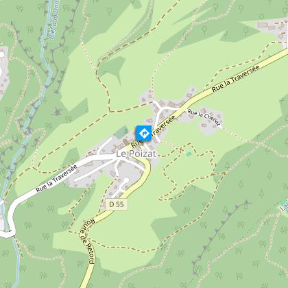
Sentier de randonnée - Tour de la Grande Montagne


Description
Ideal hike for the nature lovers : mountain flowers, lynx and chamois. The path leads to Plateau du Retord and the crête with a sightseeing on the Jura's mountains and Mont Blanc.
Technical Information
Altimetric profile
Starting point
Points of interest

Additional information
Environments
In the country
Lakeside or by stretch of water
Mountain view
Mountain location
Updated by
Office de Tourisme du Haut-Bugey - 03/01/2026
www.hautbugey-tourisme.com/
Report a problem
Open period
All year round.
Subject to favorable weather.
Type of land
Stone
Animals
Yes
Data author
