Alert
Alerts
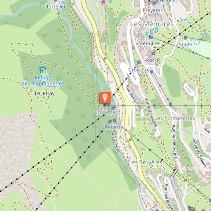
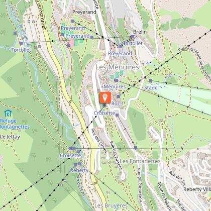
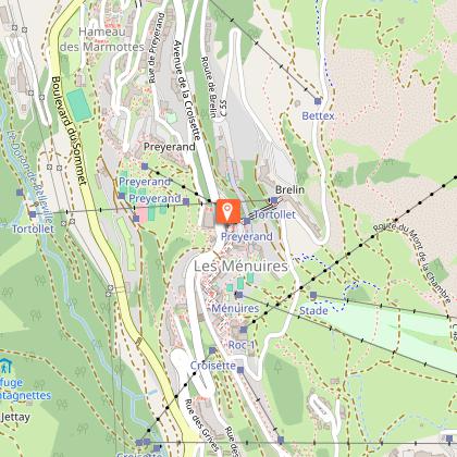
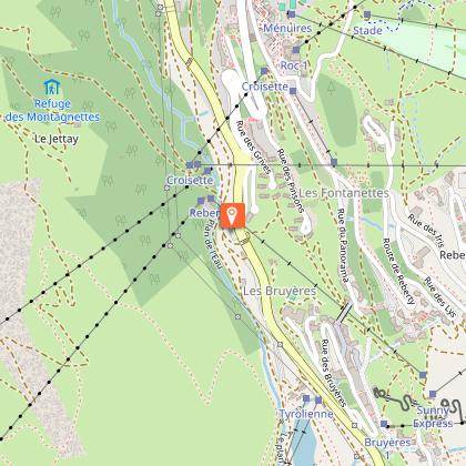
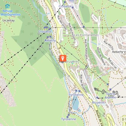
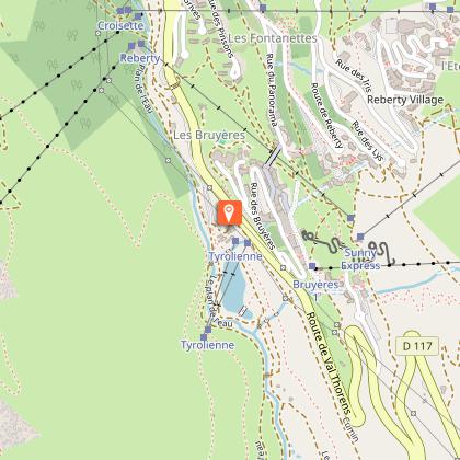
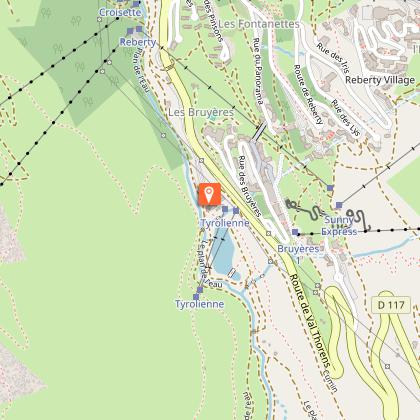
Pedestrian circuits : "Le Plan de l'Eau" path


IGN cards


Description
Running parallel to the cross country piste, round and about the Plan de l'Eau at Les Bruyères.
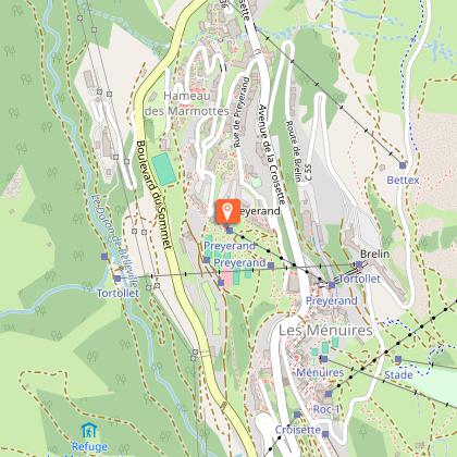
Place of departure: Les Menuires - La Masse Gondola
Walking map (available in the different Tourist Offices) : path n°6
Be careful: do not walk in the cross country skiing tracks.
Technical Information
Altimetric profile
Starting point
Steps
Points of interest


Date and time
- From 07/12/2025 to 21/04/2026
- From 07/12/2026 to 21/04/2027
Additional information
Environments
Mountain location
Updated by
Coeur de Tarentaise Tourisme - 11/06/2025
www.coeurdetarentaise-tourisme.com/
Report a problem
Open period
From 07/12 to 21/04.
Contact
Phone : 04 79 00 73 00
Email : contact@lesmenuires.com
Reception complements
Dog must be kept on a leash
Animals
Yes
Data author
