Alert
Alerts
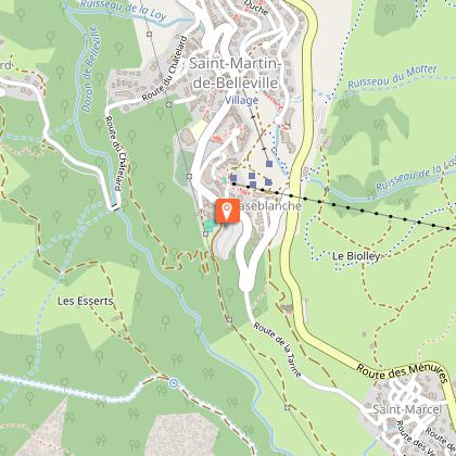
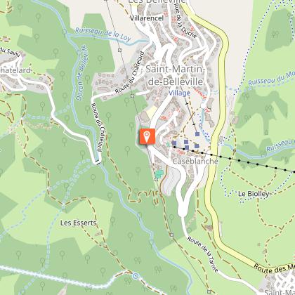
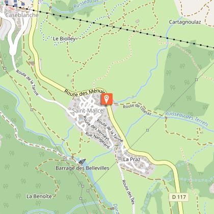
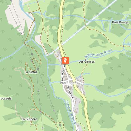
Pedestrian path : Les Menuires-Saint Martin


IGN cards


Description
This itinerary links Les Menuires to Saint Martin following the Doron river.
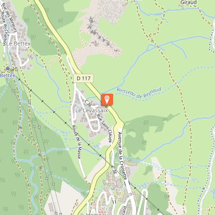
Place of departure :Les Menuires - Preyerand
Altitude of departure point: 1850 m
Maximum Altitude: 1450 m
Walking map (available in the different Tourist Offices): path n°2
Technical Information
Altimetric profile
Starting point
Steps
Date and time
- From 07/12/2025 to 26/04/2026
- From 07/12/2026 to 26/04/2027
Additional information
Updated by
Coeur de Tarentaise Tourisme - 12/06/2025
www.coeurdetarentaise-tourisme.com/
Report a problem
Environments
Mountain location
Open period
From 07/12 to 26/04.
Contact
Phone : 04 79 00 73 00
Email : contact@lesmenuires.com
Type of land
Groomed trail
Reception complements
Dog must be kept on a leash
Animals
Yes
Data author
