Alert
Alerts
Pedestrian circuit : Village discovery


IGN cards


Description
Follow the path that, 100 years ago, was the main road between Saint Martin and the villages higher up in the Valley.
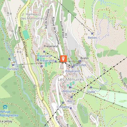
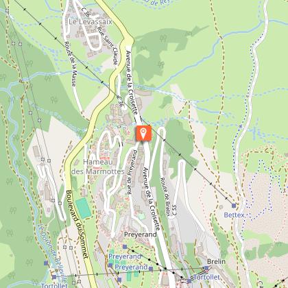
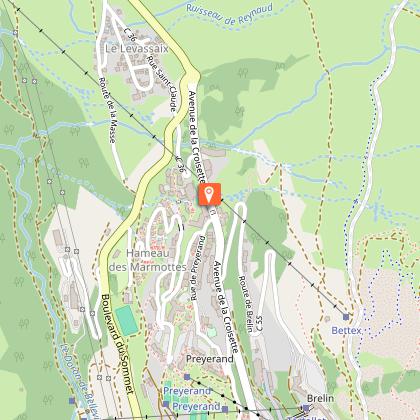
Place of departure : Saint Martin de Belleville
Altitude of departure point: 1450 m
Maximum Altitude : 1700 m
Walking map (available in the different Tourist Offices) : path n°1
Technical Information
Altimetric profile
Starting point
Steps
Date and time
- From 10/12/2025 to 26/04/2026
- From 10/12/2026 to 26/04/2027
Additional information
Environments
Mountain location
Updated by
Coeur de Tarentaise Tourisme - 12/06/2025
www.coeurdetarentaise-tourisme.com/
Report a problem
Open period
From 10/12 to 26/04.
Contact
Phone : 04 79 00 73 00
Email : contact@lesmenuires.com
Animals
Yes
Data author
